zweidimensionales bewegtes Bild
Open Source Geospatial Production of United States Forest Disturbance Maps from Landsat Time Series
- Location
-
Hannover TIB
- Extent
-
275MB, 00:25:43:28 (unknown)
- Language
-
Englisch
- Notes
-
Audiovisuelles Material
- Bibliographic citation
-
FOSS4G 2014 Portland ; (Jan. 2014)
- Keyword
-
parallel processing
GDAL
R
remote sensing
forest disturbance
- Event
-
Veröffentlichung
- (who)
-
FOSS4G, Open Source Geospatial Foundation (OSGeo)
- (when)
-
2014-01-01
- Contributor
-
Toney, Chris
- DOI
-
10.5446/31699
- Last update
-
04.12.2024, 8:09 AM CET
Data provider
This object is provided by:
Technische Informationsbibliothek (TIB). If you have any questions about the object, please contact the data provider.
Technische Informationsbibliothek (TIB). If you have any questions about the object, please contact the data provider.
Object type
- zweidimensionales bewegtes Bild
Associated
- Toney, Chris
- FOSS4G, Open Source Geospatial Foundation (OSGeo)
Time of origin
- 2014-01-01
Other Objects (12)
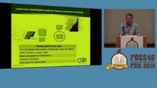
An automated classification and change detection system for rapid update of land-cover maps of South Africa using Landsat data.
Cartaro - The Geospatial CMS
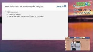
Keynote III - Geospatial Analytics in Risk Management: Geospatial Analytics in Risk Management
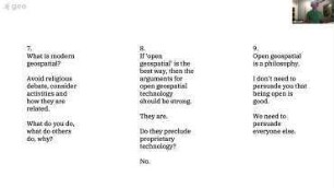
Thinking Strategically about (open) geospatial
An Introduction To Open Source Geospatial
Bytecode Unification Of Geospatial Computable Models
Meshes are needed for geospatial work
GeoScript - A Geospatial Swiss Army Knife
GeoNetwork Opensource - The Geospatial Metadata Catalogue
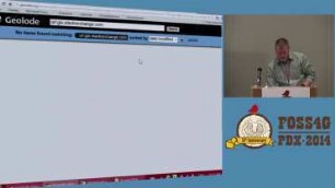
Geolode: the motherlode of geospatial data sources
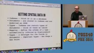
Introduction to the geospatial goodies in Elasticsearch
Open Source Geospatial Foundation - Annual General Meeting
An automated classification and change detection system for rapid update of land-cover maps of South Africa using Landsat data.
Cartaro - The Geospatial CMS
Keynote III - Geospatial Analytics in Risk Management: Geospatial Analytics in Risk Management
Thinking Strategically about (open) geospatial
An Introduction To Open Source Geospatial
Bytecode Unification Of Geospatial Computable Models
Meshes are needed for geospatial work
GeoScript - A Geospatial Swiss Army Knife
GeoNetwork Opensource - The Geospatial Metadata Catalogue
Geolode: the motherlode of geospatial data sources
Introduction to the geospatial goodies in Elasticsearch