Karten und Pläne
Flächennutzungsplan: Anlagen zum Flächennutzungsplan von Hüttental, siehe P 2030
- Reference number
-
Best. 752 Karten und Pläne, P 2032
- Extent
-
4 Karten
- Context
-
Karten und Pläne >> 4. Stadtteile der Großstadt Siegen >> Hüttental >> Flächennutzungsplan
- Holding
-
Best. 752 Karten und Pläne
- Provenance
-
FB 7/2 Vermessung
- Date of creation
-
1966-1974
- Other object pages
- Last update
-
04.06.2025, 9:09 AM CEST
Data provider
This object is provided by:
Stadtarchiv Siegen. If you have any questions about the object, please contact the data provider.
Stadtarchiv Siegen. If you have any questions about the object, please contact the data provider.
Object type
- Karten / Pläne
Associated
- FB 7/2 Vermessung
Time of origin
- 1966-1974
Other Objects (12)

Flächennutzungsplan
Flächennutzungsplan
Flächennutzungsplan Ebenheid
Flächennutzungsplan Ebenheid
Flächennutzungsplan (Wasserschutzgebiete)
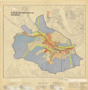
Flächennutzungsplan Seelbach
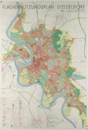
Flächennutzungsplan Düsseldorf
Flächennutzungsplan Freudenberg
Flächennutzungsplan Freudenberg
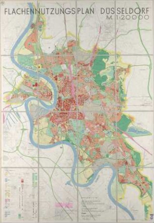
Flächennutzungsplan Düsseldorf
Flächennutzungsplan Freudenberg
Flächennutzungsplan Düsseldorf
Flächennutzungsplan
Flächennutzungsplan
Flächennutzungsplan Ebenheid
Flächennutzungsplan Ebenheid
Flächennutzungsplan (Wasserschutzgebiete)
Flächennutzungsplan Seelbach
Flächennutzungsplan Düsseldorf
Flächennutzungsplan Freudenberg
Flächennutzungsplan Freudenberg
Flächennutzungsplan Düsseldorf
Flächennutzungsplan Freudenberg
Flächennutzungsplan Düsseldorf
Flächennutzungsplan
Flächennutzungsplan
Flächennutzungsplan Ebenheid
Flächennutzungsplan Ebenheid
Flächennutzungsplan (Wasserschutzgebiete)
Flächennutzungsplan Seelbach
Flächennutzungsplan Düsseldorf
Flächennutzungsplan Freudenberg
Flächennutzungsplan Freudenberg
Flächennutzungsplan Düsseldorf
Flächennutzungsplan Freudenberg