Karte
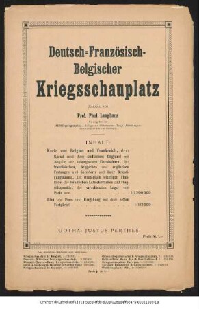
Deutsch-französisch-belgischer Kriegsschauplatz : Auf Grund der Kten aus Stielers Handatlas ; [Mit Nebenkte]
- Location
-
Deutsche Nationalbibliothek Frankfurt am Main
- Dimensions
-
73 x 86 cm 2 [Lithogr., kol.] [Kopf- u. Fusst.]
- Edition
-
Ausg. 1915 mit Geländedarstellung
- Language
-
Deutsch
- Keyword
-
Erster Weltkrieg
Kriegsschauplatz
Frankreich
Belgien
- Table of contents
- Rights
-
Bei diesem Objekt liegt nur das Inhaltsverzeichnis digital vor. Der Zugriff darauf ist unbeschränkt möglich.
- Last update
-
11.06.2025, 1:58 PM CEST
Data provider
This object is provided by:
Deutsche Nationalbibliothek. If you have any questions about the object, please contact the data provider.
Deutsche Nationalbibliothek. If you have any questions about the object, please contact the data provider.
Object type
- Karte
Associated
- Langhans, Paul
- Perthes
Time of origin
- 1915
Other Objects (12)

Stielers Hand-Atlas
Stielers Hand-Atlas
Deutsch-österreichisch-russischer Kriegsschauplatz : Auf Grund von Karten aus Stielers Hand-Atlas
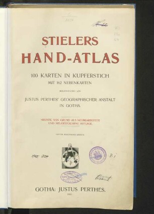
Stielers Hand-Atlas : 100 Karten in Kupferstich mit 162 Nebenkarten
Historisch-geographischer Hand-Atlas : in 64 Karten

Karl von Spruner's Historisch-geographischer Hand-Atlas

Russisch-Türkischer Kriegsschauplatz, 1877

Russisch-Türkischer Kriegsschauplatz, 1877
Deutsch-Französisch-Belgischer Kriegsschauplatz : Auf Grundlage von Karten aus Stielers Handatlas
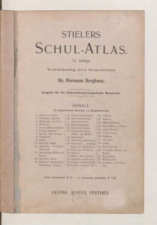
Stielers Schul-Atlas
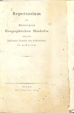
Repertorium zu Heusingers Geographischem Handatlas über alle Bekannte Länder des Erdbodens
Osteuropäischer Kriegsschauplatz : Auf Grundlage von Stielers Handatlas
Stielers Hand-Atlas
Stielers Hand-Atlas
Deutsch-österreichisch-russischer Kriegsschauplatz : Auf Grund von Karten aus Stielers Hand-Atlas
Stielers Hand-Atlas : 100 Karten in Kupferstich mit 162 Nebenkarten
Historisch-geographischer Hand-Atlas : in 64 Karten
Karl von Spruner's Historisch-geographischer Hand-Atlas
Russisch-Türkischer Kriegsschauplatz, 1877
Russisch-Türkischer Kriegsschauplatz, 1877
Deutsch-Französisch-Belgischer Kriegsschauplatz : Auf Grundlage von Karten aus Stielers Handatlas
Stielers Schul-Atlas
Repertorium zu Heusingers Geographischem Handatlas über alle Bekannte Länder des Erdbodens