- Alternative title
-
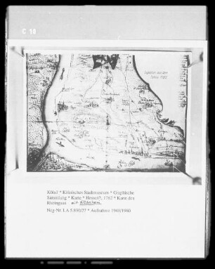
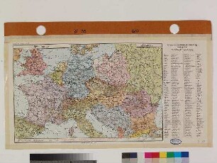
Übersichtskarte von Mitteleuropa / R 55 Königsberg (Pr.)
- Location
-
Deutsches Historisches Museum, Berlin
- Inventory number
-
Do2 2019/586
- Measurements
-
87 x 107,5 cm Höhe x Breite (ca.)
- Material/Technique
-
Tinte (mehrfarbig), Papier, gedruckt, geklebt
- Classification
-
Druckgraphik (Gattung)
- Subject (what)
-
Geographie
Nationalsozialismus
Russland
Sowjetunion
Kartographie
Litauen
Polen
Preußen (Motiv)
Königsberg
Gumbinnen
Rowno
- Event
-
Herstellung
- (where)
-
Deutschland [historisch: Deutsches Reich]
- (when)
-
nach 1936
- Last update
-
14.03.2023, 1:00 PM CET
Data provider
This object is provided by:
Stiftung Deutsches Historisches Museum. If you have any questions about the object, please contact the data provider.
Stiftung Deutsches Historisches Museum. If you have any questions about the object, please contact the data provider.
Object type
- Landkarte
Time of origin
- nach 1936
Other Objects (12)
Karte
Karte
Landkarte : Karte
Landkarte : Karte
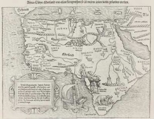
Afrika-Karte

Hoyerswerda. Karte
Karte Italiens
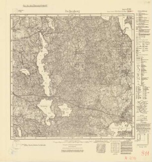
2194 (alte Nr.: 811) Rechenberg (Ostpreußen), Meßtischblatt (4cm - Karte)
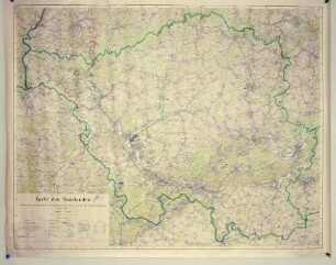
Karte des Saarlandes
Karte von Bredstedt
Karte von Mitteleuropa
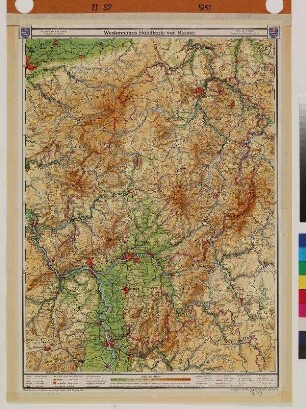
Karte von Hessen
Karte
Karte
Landkarte : Karte
Landkarte : Karte
Afrika-Karte
Hoyerswerda. Karte
Karte Italiens
2194 (alte Nr.: 811) Rechenberg (Ostpreußen), Meßtischblatt (4cm - Karte)
Karte des Saarlandes
Karte von Bredstedt
Karte von Mitteleuropa
Karte von Hessen
Karte
Karte
Landkarte : Karte
Landkarte : Karte
Afrika-Karte
Hoyerswerda. Karte
Karte Italiens
2194 (alte Nr.: 811) Rechenberg (Ostpreußen), Meßtischblatt (4cm - Karte)
Karte des Saarlandes
Karte von Bredstedt
Karte von Mitteleuropa