- Alternative title
-
Militärisch-politische Übersichtskarte von Mitteleuropa
- Location
-
München, Bayerische Staatsbibliothek -- Mapp. II,52
- Dimensions
-
58 x 72 cm, Bildgr. 59 x 88 cm, gefaltet
- Extent
-
1 Kt.
- Edition
-
1. Aufl.
- Language
-
Deutsch
- Notes
-
mehrfarb.
Nebensacht. (Umschlagtitel): Militärisch-politische Übersichtskarte von Mitteleuropa
- Keyword
-
Geschichte 1919
Politische Geografie
Karte
Mitteleuropa
- Event
-
Veröffentlichung
- (where)
-
Berlin
- (who)
-
Reimer
- (when)
-
1919
- Contributor
- URN
-
urn:nbn:de:bvb:12-bsb00066393-8
- Last update
-
27.11.2025, 8:30 AM CET
Data provider
This object is provided by:
Bayerische Staatsbibliothek. If you have any questions about the object, please contact the data provider.
Bayerische Staatsbibliothek. If you have any questions about the object, please contact the data provider.
Object type
- kartografisches Bild
Associated
- Lange, Friedrich (Sonstige)
- Reimer
Time of origin
- 1919
Other Objects (12)
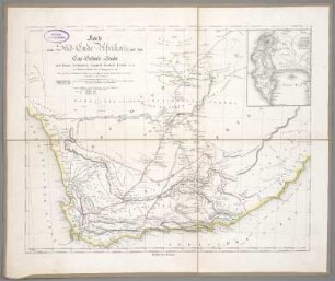
Karte vom Süd-Ende Afrika's und dem Cap-Colonie-Lande
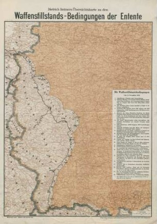
Dietrich Reimer's Übersichtskarte zu den Waffenstillstands-Bedingungen der Entente

Landwirtschaft und Umwelt in den Trockengebieten der VR China : kartographische Beiträge aus dem Interdisziplinären Forschungsprojekt "Grenzertragsflächen in China"

Die neue Grenze Kamerun's gegen das englische Niger-Benuë-Gebiet : Abkommen vom 14. April und 15. November 1893

Die Staaten Süd-Deutschland's: Bayern, Würtemberg und Baden

Asiatische Türkei

Übersicht der Entwickelung des Bayerischen Staatsgebietes
Historischer Atlas Berlin-Zehlendorf

Reimer

Dietrich Reimers Kriegsstandskarte
Reimers Garten. Dismembration
Basiskarten für die thematische Kartierung arider Gebiete : Arbeiten im Teilprojekt D 1 d. Sonderforschungsbereichs 69, Geowiss. Probleme Arider Gebiete 1981 - 1984
Karte vom Süd-Ende Afrika's und dem Cap-Colonie-Lande
Dietrich Reimer's Übersichtskarte zu den Waffenstillstands-Bedingungen der Entente
Landwirtschaft und Umwelt in den Trockengebieten der VR China : kartographische Beiträge aus dem Interdisziplinären Forschungsprojekt "Grenzertragsflächen in China"
Die neue Grenze Kamerun's gegen das englische Niger-Benuë-Gebiet : Abkommen vom 14. April und 15. November 1893
Die Staaten Süd-Deutschland's: Bayern, Würtemberg und Baden
Asiatische Türkei
Übersicht der Entwickelung des Bayerischen Staatsgebietes
Historischer Atlas Berlin-Zehlendorf
Reimer
Dietrich Reimers Kriegsstandskarte
Reimers Garten. Dismembration