Regionalkarte
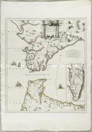
Carte des Environs de la Ville et du Golfe de Naples. Mit einer Nebenkarte: Plan du Cratere und einem Profil: Coupe du Cratere
- Alternative title
-
CARTE / DES ENVIRONS / DE LA VILLE ET DU GOLFE / DE
- Location
-
Deutsches Historisches Museum, Berlin
- Inventory number
-
Do 2006/302
- Measurements
-
Höhe x Breite: 70,5 x 54 cm (Blatt)
Höhe x Breite: 47,5 x 36,3 cm (Karte)
Höhe x Breite: 53,2 x 41,5 cm (Platte)
- Material/Technique
-
Druckfarbe, Papier, Kupferstich
- Classification
-
Kartografie (Gattung)
- Subject (what)
-
Golf von Neapel
Neapel
Vesuv
- Event
-
Herstellung
- (who)
-
Stecher: ? Niquet
Stecher: ? Perrier
Kartograf, Geograph: ? Clermont
- (where)
-
Paris ?, Frankreich ?
- (when)
-
1778
- Rights
-
Deutsches Historisches Museum
- Last update
-
24.03.2023, 9:29 AM CET
Data provider
This object is provided by:
Stiftung Deutsches Historisches Museum. If you have any questions about the object, please contact the data provider.
Stiftung Deutsches Historisches Museum. If you have any questions about the object, please contact the data provider.
Object type
- Regionalkarte
Associated
- Stecher: ? Niquet
- Stecher: ? Perrier
- Kartograf, Geograph: ? Clermont
Time of origin
- 1778
Other Objects (12)
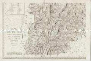
Carte du Tyrol. Mit einer Nebenkarte: Carte Générale
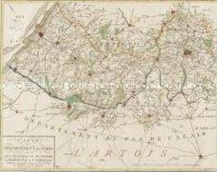
Carte du Departement du Nord
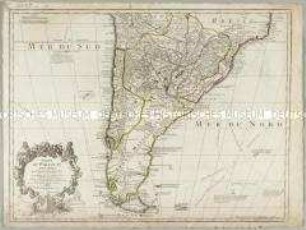
Carte du Paraguay du Chili du Detroit de Magellan &c.
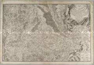
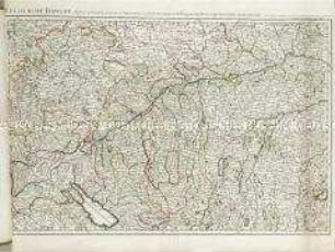
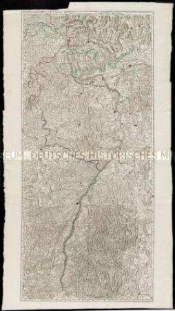
Carte Topographique du Cours du Rhin
Nouvelle Carte du Détroit de Gibraltar et de I'Isle de Cadix. Mit einer Nebenkarte: Plan de Gibraltar
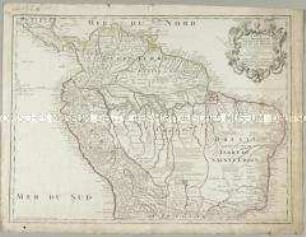
Carte de la Terre ferme du Perou, du Bresil et du Pays des Amazones
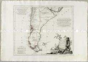
Carte du Chili Méridional, du Rio de la Plata, des Patagons, et du Détroit de Magellan
Le cours du Danube
Le cours du Rhin
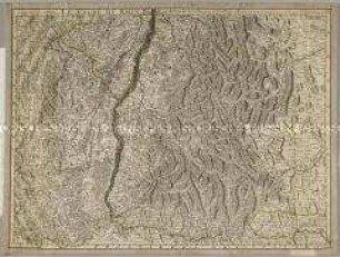
Le cours du Rhin
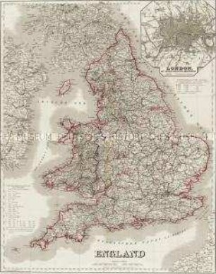
England. Mit einer Nebenkarte: London
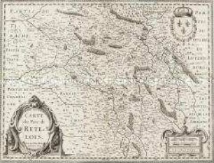
Carte du Pais de Retelois
Carte du Tyrol. Mit einer Nebenkarte: Carte Générale
Carte du Departement du Nord
Carte du Paraguay du Chili du Detroit de Magellan &c.
Carte Topographique du Cours du Rhin
Nouvelle Carte du Détroit de Gibraltar et de I'Isle de Cadix. Mit einer Nebenkarte: Plan de Gibraltar
Carte de la Terre ferme du Perou, du Bresil et du Pays des Amazones
Carte du Chili Méridional, du Rio de la Plata, des Patagons, et du Détroit de Magellan
Le cours du Danube
Le cours du Rhin
Le cours du Rhin
England. Mit einer Nebenkarte: London