Archivale
Nivellementsplan der straßen des projectirten neuen Stadttheils östlich und südlich von Münster. III. Section (kein Scan)
Längenprofile.
- Reference number
-
Slg-KUP, A 134,30
- Dimensions
-
Bl. 53,8 x 59,7
- Formal description
-
Zeichenkarton leicht geknickt und eingerissen.
- Further information
-
Ausführung: Zeichnung, koloriert
Maßstab: 1:250, 1:5000
- Context
-
Karten und Pläne >> 01. Stadtdarstellungen >> 01.08. Bebauungs-, Flächennutzungs-, Verkehrs-, Struktur-, Leitpläne
- Holding
-
Slg-KUP Karten und Pläne
- Indexentry person
-
Lösen
- Date of creation
-
1860, 09.
- Other object pages
- Delivered via
- Last update
-
17.09.2025, 3:18 PM CEST
Data provider
This object is provided by:
Stadtarchiv Münster. If you have any questions about the object, please contact the data provider.
Stadtarchiv Münster. If you have any questions about the object, please contact the data provider.
Object type
- Archivale
Time of origin
- 1860, 09.
Other Objects (12)

Section Mecklenbeck, Section Angelmodde. (kein Scan)
Höhenplan der projectirten Strasse 2.
Höhenplan der projectirten Strasse 3
Umbau des Bahnhofs Halle. Nivellementsplan von den südlichen Anschlusstrecken

General Plan der projectirten Haubt plantage

Situations- u. Nivellementsplan des südlichen Düsselarmes von Scheidlingsmühle bis Bilker Mühle
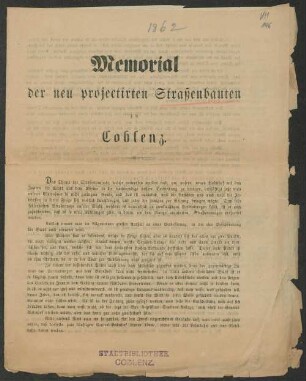
Memorial der neu projectirten Straßenbauten zu Coblenz
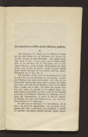
I. Die projectirten Seeschiffs-Kanäle Schleswig-Holsteins.
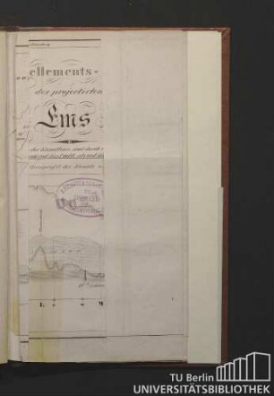
Nivellements-Karte des projectirten Hunte-Ems-Kanals

Die projectirten Monumente auf dem Leipziger Schlachtfelde

Erklärung des General-Plans der projectirten Hauptplantage
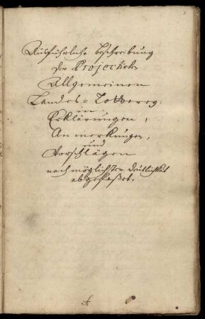
Ausführliche Beschreibung der projectirten allgemeinen Landes-Lotterey
Section Mecklenbeck, Section Angelmodde. (kein Scan)
Höhenplan der projectirten Strasse 2.
Höhenplan der projectirten Strasse 3
Umbau des Bahnhofs Halle. Nivellementsplan von den südlichen Anschlusstrecken
General Plan der projectirten Haubt plantage
Situations- u. Nivellementsplan des südlichen Düsselarmes von Scheidlingsmühle bis Bilker Mühle
Memorial der neu projectirten Straßenbauten zu Coblenz
I. Die projectirten Seeschiffs-Kanäle Schleswig-Holsteins.
Nivellements-Karte des projectirten Hunte-Ems-Kanals
Die projectirten Monumente auf dem Leipziger Schlachtfelde
Erklärung des General-Plans der projectirten Hauptplantage