- Alternative title
-
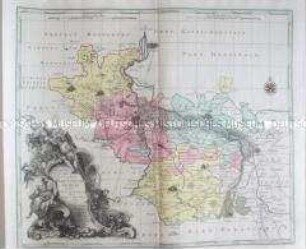
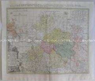
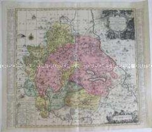
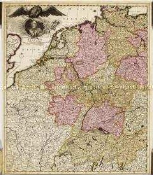
Geographische Vorstellung der jämerlichen WASSER-FLUTT in NIEDER- TEUTSCHLAND, welche den 25. Dec. A.o 1717 in der heiligen Christ-Nacht mit unzäh- / lichen Schaden, und Verlust vieler tausend Menschen, theil derer Hertzogth. HOLSTEIN und BREMEN, die Grafsch. OLDENBURG, FRISLANDT, GRÖNINGEN und NORT-HOLLAND überschwemmet hat, edirt von IOH. BAPT. HOMANN Der Röm. Keis.Mai. Geogr. in Nürnberg.
- Location
-
Deutsches Historisches Museum, Berlin
- Inventory number
-
1988/1869
- Measurements
-
Höhe x Breite: 47 x 57 cm (Karte)
Höhe x Breite: 54 x 60 cm (Blatt)
- Material/Technique
-
Karte: Druckfarbe, Papier, Kupferstich, koloriert
- Classification
-
Kartografie (Gattung)
- Subject (what)
-
Friesland
Sturmflut
- Event
-
Herstellung
- (who)
-
Geograph, Kartograf: Johann Baptist Homann
- (where)
-
Nürnberg, Deutschland [historisch: Heiliges Römisches Reich]
- (when)
-
um 1720
- Rights
-
Deutsches Historisches Museum
- Last update
-
27.03.2023, 9:30 PM CEST
Data provider
This object is provided by:
Stiftung Deutsches Historisches Museum. If you have any questions about the object, please contact the data provider.
Stiftung Deutsches Historisches Museum. If you have any questions about the object, please contact the data provider.
Object type
- Regionalkarte
Associated
- Geograph, Kartograf: Johann Baptist Homann
Time of origin
- um 1720
Other Objects (12)
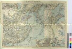
Karte von Ost-China

Landkarte des Olmützer Kreises, um 1720, in zwei Sektionen
Landkarte des Brünner Kreises, um 1720, in zwei Sektionen
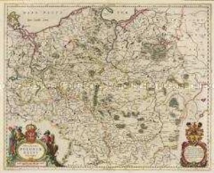
Karte Polen
Karte: Glogau
Karte von Oxford
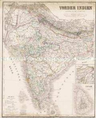
Karte von Indien
Karte von Merseburg
Karte von Grindelwald
Karte von Wittenberg
Karte von Mansfeld...,
Karte Königreich Preußen
Karte von Ost-China
Landkarte des Olmützer Kreises, um 1720, in zwei Sektionen
Landkarte des Brünner Kreises, um 1720, in zwei Sektionen
Karte Polen
Karte: Glogau
Karte von Oxford
Karte von Indien
Karte von Merseburg
Karte von Grindelwald
Karte von Wittenberg
Karte von Mansfeld...,