Karte/Plan
Haina, Teillageplan des südwestlichen Bereichs des Kloster und der Siedlung
- Reference number
-
Archiv des Landeswohlfahrtsverbandes Hessen, Kartensammlung, Nr. 1625
- Dimensions
-
75,2 x 101,3 cm
- Notes
-
Wohl Durchzeichnung nach einer topopgraphischen Karte
- Further information
-
Identifikation (Karte/Plan): Originaldatierung: 1940.08.20
Weitere Angaben (Karte/Plan): Maßstab: Lageplan / 1:1000
Weitere Angaben (Karte/Plan): Ausführung: Lichtpause, Bleistift, Feder in Blau
- Context
-
Kartensammlung >> Landeshospitäler >> Haina >> Gesamtanlage >> Lagepläne
- Holding
-
Kartensammlung
- Creator
-
unbekannt
- Date of creation
-
1940
- Other object pages
- Last update
-
14.11.2023, 11:35 AM CET
Data provider
This object is provided by:
Archiv des Landeswohlfahrtsverbandes Hessen. If you have any questions about the object, please contact the data provider.
Archiv des Landeswohlfahrtsverbandes Hessen. If you have any questions about the object, please contact the data provider.
Object type
- Karte/Plan
Associated
- unbekannt
Time of origin
- 1940
Other Objects (12)

Haina, Teillageplan des südwestlichen Bereichs des Kloster und der Siedlung
Haina, Teillageplan mit Darstellung der Be- und Entwässerung des südwestlichen Bereichs (neues Baugelände)
![[Teillageplan] Bahnhof Siedlung](https://iiif.deutsche-digitale-bibliothek.de/image/2/8a08a4de-9727-43a1-b08a-89b512f5bd97/full/!306,450/0/default.jpg)
[Teillageplan] Bahnhof Siedlung
Skizze der südwestlichen Domtür
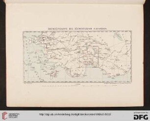
Übersichtskarte des südwestlichen Kleinasiens
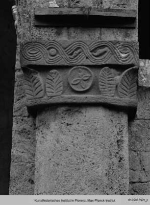
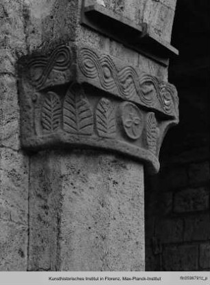
Blattkapitell des südwestlichen Vierungspfeilers
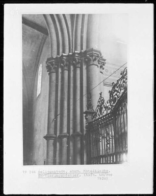
Kapitelle des südwestlichen Vierungspfeilers
Unfallverhütungsvorschriften der Südwestlichen Baugewerksberufsgenossenschaft
Eisenbahnverbindungen im südwestlichen Vogtland
Unfallversicherung der südwestlichen Baugewerksberufsgenossenschaft
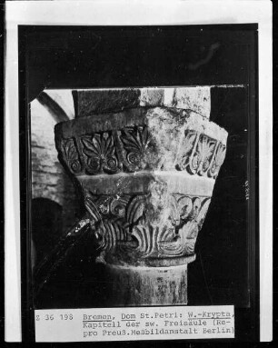
Kapitell des südwestlichen Säule
Blattkapitell des südwestlichen Vierungspfeilers
Haina, Teillageplan des südwestlichen Bereichs des Kloster und der Siedlung
Haina, Teillageplan mit Darstellung der Be- und Entwässerung des südwestlichen Bereichs (neues Baugelände)
[Teillageplan] Bahnhof Siedlung
Skizze der südwestlichen Domtür
Übersichtskarte des südwestlichen Kleinasiens
Blattkapitell des südwestlichen Vierungspfeilers
Kapitelle des südwestlichen Vierungspfeilers
Unfallverhütungsvorschriften der Südwestlichen Baugewerksberufsgenossenschaft
Eisenbahnverbindungen im südwestlichen Vogtland
Unfallversicherung der südwestlichen Baugewerksberufsgenossenschaft
Kapitell des südwestlichen Säule