- Alternativer Titel
-
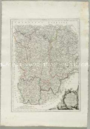
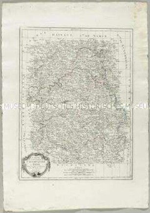
CARTE / des Gouvernements / DE LANGUEDOC, DE FOIX / et de ROUSSILLON
- Standort
-
Deutsches Historisches Museum, Berlin
- Inventarnummer
-
Do 2006/852
- Maße
-
Höhe x Breite: 78 x 55 cm (Blatt)
Höhe x Breite: 56 x 43 cm (Karte)
Höhe x Breite: 59 x 46 cm (Platte)
- Material/Technik
-
Papier, Kupferstich, grenzkoloriert
- Klassifikation
-
Kartografie (Gattung)
- Bezug (was)
-
Frankreich
Languedoc-Roussillon
Foix
- Ereignis
-
Herstellung
- (wer)
-
Kartograf: Rigobert Bonne
Stecher, Kartograf: Paolo Santini
Kartograf, Verleger: Giuseppe Antonio Remondini
- (wo)
-
Venedig, Italien
- (wann)
-
um 1777
- Rechteinformation
-
Deutsches Historisches Museum
- Letzte Aktualisierung
-
24.03.2023, 09:27 MEZ
Datenpartner
Dieses Objekt wird bereitgestellt von:
Stiftung Deutsches Historisches Museum. Bei Fragen zum Objekt wenden Sie sich bitte an den Datenpartner.
Stiftung Deutsches Historisches Museum. Bei Fragen zum Objekt wenden Sie sich bitte an den Datenpartner.
Objekttyp
- Ämterkarte
Beteiligte
- Kartograf: Rigobert Bonne
- Stecher, Kartograf: Paolo Santini
- Kartograf, Verleger: Giuseppe Antonio Remondini
Entstanden
- um 1777
Ähnliche Objekte (12)
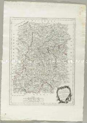
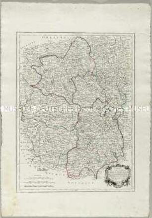
Carte des Gouvernements de Bourgogne, de Franche Comté et de Lyonnois
Carte du Gouvernement de l'Isle de France et celui de l'Orleanois
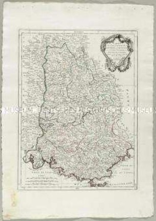
Carte des Gouvernements de Dauphiné et de Provence
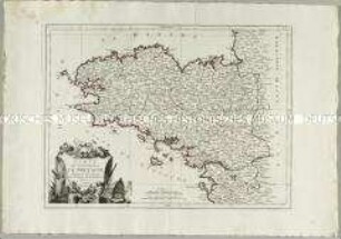
Carte du Gouvernement de Bretagne
Carte du Gouvernement de Champagne et Brie
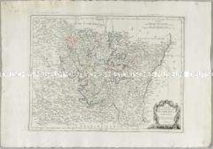
Carte des Gouvernements du Berri, du Nivernois, de la Marche, du Bourbonnois, du Limosin et de l'Auvergne
Carte des Gouvernements de Lorraine et d'Alsace
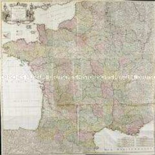
Carte de France. Mit einer Nebenkarte: Isles d'Ouessant
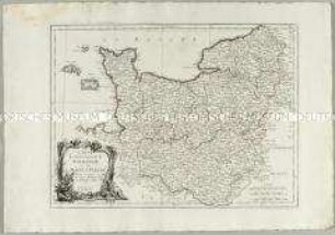
Carte du Gouvernement de Normandie avec celui du Maine et Perche
![Karte der Umgebung von Leipzig, ca. 1:370 000, Kupferstich, 1759 : Environs de Leipzig. - [Ca. 1:370 000]. - [Paris] : [Le Rouge] , [1759]. - 1 Kt. : Kupferst. ; 22 x 21 cm](https://iiif.deutsche-digitale-bibliothek.de/image/2/0e5017a6-89b1-463d-ae77-be588bb5ed5f/full/!306,450/0/default.jpg)
Karte der Umgebung von Leipzig, ca. 1:370 000, Kupferstich, 1759 : Environs de Leipzig. - [Ca. 1:370 000]. - [Paris] : [Le Rouge] , [1759]. - 1 Kt. : Kupferst. ; 22 x 21 cm
![Karte der Ämter Wurzen, Eilenburg und Düben, ca. 1:230000, Kupferstich, 1759 : Bailliages de Wurtzen, Eilenburg et Duben. - [Ca. 1:230 000]. - [Paris] : [Le Rouge] , [1759]. - 1 Kt. : Kupferst. ; 22 x 20 cm](https://iiif.deutsche-digitale-bibliothek.de/image/2/770e375a-d9bb-4418-9e8a-bbf0354189fa/full/!306,450/0/default.jpg)
Karte der Ämter Wurzen, Eilenburg und Düben, ca. 1:230000, Kupferstich, 1759 : Bailliages de Wurtzen, Eilenburg et Duben. - [Ca. 1:230 000]. - [Paris] : [Le Rouge] , [1759]. - 1 Kt. : Kupferst. ; 22 x 20 cm
![Karte der Ämter Rochlitz, Colditz und Leissnig, ca. 1:260 000, Kupferstich, 1759 : Haute-Saxe, Bailliage De Rochliz, Coldiz Et Leissnig. - [Ca. 1:260 000]. - [Paris] : [Le Rouge] , [1759]. - 1 Kt. : Kupferst. ; 27 x 20 cm](https://iiif.deutsche-digitale-bibliothek.de/image/2/6609d286-764b-4340-8df8-b0dee5a59688/full/!306,450/0/default.jpg)
Karte der Ämter Rochlitz, Colditz und Leissnig, ca. 1:260 000, Kupferstich, 1759 : Haute-Saxe, Bailliage De Rochliz, Coldiz Et Leissnig. - [Ca. 1:260 000]. - [Paris] : [Le Rouge] , [1759]. - 1 Kt. : Kupferst. ; 27 x 20 cm
Carte des Gouvernements de Bourgogne, de Franche Comté et de Lyonnois
Carte du Gouvernement de l'Isle de France et celui de l'Orleanois
Carte des Gouvernements de Dauphiné et de Provence
Carte du Gouvernement de Bretagne
Carte du Gouvernement de Champagne et Brie
Carte des Gouvernements du Berri, du Nivernois, de la Marche, du Bourbonnois, du Limosin et de l'Auvergne
Carte des Gouvernements de Lorraine et d'Alsace
Carte de France. Mit einer Nebenkarte: Isles d'Ouessant
Carte du Gouvernement de Normandie avec celui du Maine et Perche
Karte der Umgebung von Leipzig, ca. 1:370 000, Kupferstich, 1759 : Environs de Leipzig. - [Ca. 1:370 000]. - [Paris] : [Le Rouge] , [1759]. - 1 Kt. : Kupferst. ; 22 x 21 cm
Karte der Ämter Wurzen, Eilenburg und Düben, ca. 1:230000, Kupferstich, 1759 : Bailliages de Wurtzen, Eilenburg et Duben. - [Ca. 1:230 000]. - [Paris] : [Le Rouge] , [1759]. - 1 Kt. : Kupferst. ; 22 x 20 cm