Archivale
[Zwei vergrößerte Ausschnitte von Blättern der Topographischen Karte 1 : 25.000 auf Folie vom Braunkohleabbaugebiet bei Grevenbroich und Jüchen]
Enthält u.a.: Grevenbroich; Frimmersdorf; Neurath; Gustorf; Gindorf; Otzenrath; Jüchen; Garzweiler; Tagebau Frimmersdorf-West.
- Reference number
-
LandK Online, 1695
- Formal description
-
Format: jeweils 53 x 135 cm
- Context
-
Landkarten >> 2.11 Stadt Grevenbroich
- Holding
-
LandK Online Landkarten
- Date of creation
-
circa 1990
- Other object pages
- Delivered via
- Last update
-
17.09.2025, 2:56 PM CEST
Data provider
This object is provided by:
Archiv im Rhein-Kreis-Neuss. If you have any questions about the object, please contact the data provider.
Archiv im Rhein-Kreis-Neuss. If you have any questions about the object, please contact the data provider.
Object type
- Archivale
Time of origin
- circa 1990
Other Objects (12)

Der vergrößerte Ausschnitt
Der vergrößerte Ausschnitt

Ausgaben und Ausschnitte der Betriebszeitung "Der Kupolofen" (vergrößerte Fotokopien)
Grund- und Saigerriss von dem Revier Nr. 17, vergrößerte Ausschnitte
Der vergrößerte Staat
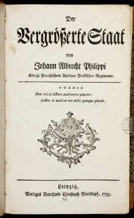
Der Vergrößerte Staat
Der vergrößerte Staat
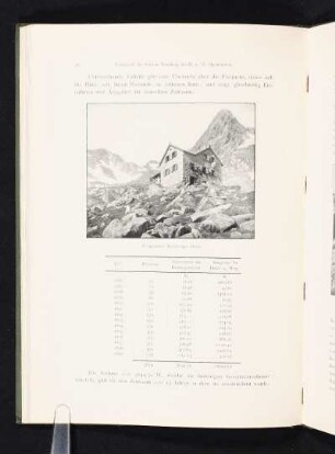
Vergrößerte Nürnberger Hütte.
Mikrofossilien (Vergrößerte Fotos)
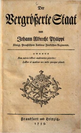
Der Vergrößerte Staat
Der Vergrößerte Staat
Topographische Karte 1 : 25.000 - Folien
Der vergrößerte Ausschnitt
Der vergrößerte Ausschnitt
Ausgaben und Ausschnitte der Betriebszeitung "Der Kupolofen" (vergrößerte Fotokopien)
Grund- und Saigerriss von dem Revier Nr. 17, vergrößerte Ausschnitte
Der vergrößerte Staat
Der Vergrößerte Staat
Der vergrößerte Staat
Vergrößerte Nürnberger Hütte.
Mikrofossilien (Vergrößerte Fotos)
Der Vergrößerte Staat
Der Vergrößerte Staat