Altkarte
Elevation, Profil, Plan et Coupe horizontale du pont sur la rivière Inn en Bavière près d'Oettingen de cinq arches chacune de CX pieds d'ouverture
- Alternative title
-
Vue perspective du Levage des cintres de ce pont & de la ville d'Oettingen en Bavière
- Location
-
München, Bayerische Staatsbibliothek -- Hbks/E 35 z-5
- Dimensions
-
Bildgr. 92 x 61 cm
- Extent
-
6 Ansichten u. 1 Grundriss auf 1 Bl.
- Language
-
Französisch
- Notes
-
Lithographie
- Bibliographic citation
-
Theoretisch-practische Wasserbaukunst / von Carl Friedrich Wiebeking, Kgl.-Baier. geheimen Rath, General-Direktor des Wasser-, Brücken- und Strassenbaues ; [5], [Tafeln], 1811-1817, Tab. 107/108
- Keyword
-
Vedute
Oettingen i. Bay.
- URN
-
urn:nbn:de:bvb:12-bsb00086952-4
- Last update
-
27.11.2025, 8:39 AM CET
Data provider
This object is provided by:
Bayerische Staatsbibliothek. If you have any questions about the object, please contact the data provider.
Bayerische Staatsbibliothek. If you have any questions about the object, please contact the data provider.
Object type
- Altkarte
Associated
Time of origin
- 1811-1817
Other Objects (12)

Pissarro, "Femme se lavant les Pieds à la Rivière"

"Le Pont sur la Vils entre Ulm et Göppingen, d'une arche de LXXX pieds d¿ouverture"

Prologue d'ouverture

Proffits D'ouverture.

Allocutions D՚Ouverture

Allocutions D'Ouverture

Discours D'Ouverture.

Vue perspective de la ville de Landshut, de l'épanchoir et du pont à arche de 160 pieds d'ouverture
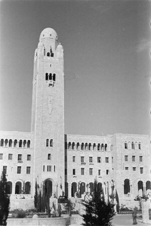
YMCA Three Arches Hotel : Das YMCA Three Arches Hotel in Jerusalem

Seance d'ouverture / Opening session
![Street of arches [Jerusalem]](https://iiif.deutsche-digitale-bibliothek.de/image/2/4893ed33-9e45-46f8-ab96-c4efb6671df1/full/!306,450/0/default.jpg)
Street of arches [Jerusalem]

Double C1 Posterior Arches
Pissarro, "Femme se lavant les Pieds à la Rivière"
"Le Pont sur la Vils entre Ulm et Göppingen, d'une arche de LXXX pieds d¿ouverture"
Prologue d'ouverture
Proffits D'ouverture.
Allocutions D՚Ouverture
Allocutions D'Ouverture
Discours D'Ouverture.
Vue perspective de la ville de Landshut, de l'épanchoir et du pont à arche de 160 pieds d'ouverture
YMCA Three Arches Hotel : Das YMCA Three Arches Hotel in Jerusalem
Seance d'ouverture / Opening session
Street of arches [Jerusalem]