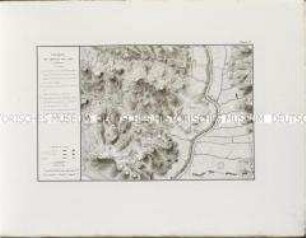
Karte
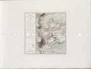
Du Relief, Commandement et Défilement de la Fortification. Planche 1ere: Plan // de Châlons sur Marne. Fig. 2. Profil des Travaux de terre - BSB Cod.icon. 180 ubo
- Alternative title
-
Mapp. IV,131 rx
- Location
-
München, Bayerische Staatsbibliothek -- Cod.icon. 180 ubo
- Dimensions
-
Blattgröße 81 x 45 cm
- Extent
-
1 Karte und 1 Profil auf 1 Blatt
- Language
-
Französisch
- Notes
-
Tusche und Aquarell auf Papier. - Ill.
Region: Châlons-sur-Marne
Mit ausführlichen Erläuterungen rechts neben der Karte: Travaux à faire//pour la Fortification de la Ville de Châlons sur Marne
Ausstattung: Tusche und Aquarell auf Papier
Maßstab in graphischer Form (Echelle de Plan 300 toises, Echelle du Profil 10 toises)
BSB-Provenienz: Mit Stempel: K.B. Armee-Bibliothek, Signaturschildchen I.No. 6901
Altsignatur: Mapp. IV,131 rx
Kurzaufnahme einer Handschrift
- Keyword
-
Châlons-sur-Marne
- Event
-
Herstellung
- (where)
-
[S.l.]
- (when)
-
ca. 1750
- URN
-
urn:nbn:de:bvb:12-bsb00111769-9
- Last update
-
27.11.2025, 8:38 AM CET
Data provider
This object is provided by:
Bayerische Staatsbibliothek. If you have any questions about the object, please contact the data provider.
Bayerische Staatsbibliothek. If you have any questions about the object, please contact the data provider.
Object type
- kartografisches Bild
Time of origin
- ca. 1750
Other Objects (12)
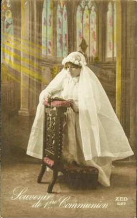
Souvenir de 1ère Communion
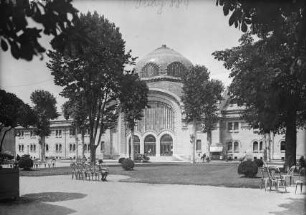
Établissement Thermal de 1ere classe

CAPUT IX. Wie die Fortification wider ein frey Commandement anzustellen.
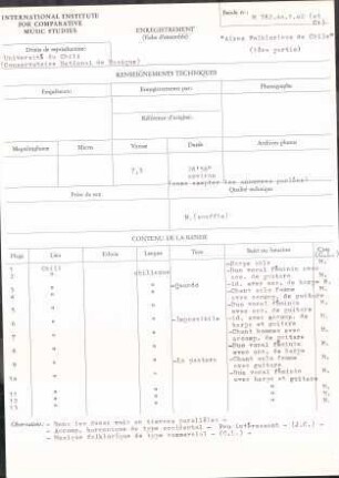
"Aires Folkloricos de Chile" (1ère partie)
Au commandement de halte
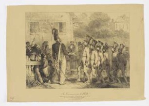
Au commandement de halte
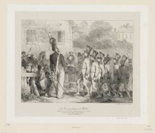
Au commandement de halte
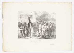
Faubourg de Chalon.

Bataille de Llinas ou Cardedeu (1ère position).
Bataille de Molino del Rey 1ère Position
Bataille de Llinas ou Cardedeu 1ère Position

Bataille de Molino del Rey (1ère position).
Souvenir de 1ère Communion
Établissement Thermal de 1ere classe
CAPUT IX. Wie die Fortification wider ein frey Commandement anzustellen.
"Aires Folkloricos de Chile" (1ère partie)
Au commandement de halte
Au commandement de halte
Au commandement de halte
Faubourg de Chalon.
Bataille de Llinas ou Cardedeu (1ère position).
Bataille de Molino del Rey 1ère Position
Bataille de Llinas ou Cardedeu 1ère Position