4D GIS FOR MONITORING RIVER BANK EROSION AT MEANDER BEND SCALE: CASE OF MOSELLE RIVER
- Location
-
Deutsche Nationalbibliothek Frankfurt am Main
- Extent
-
Online-Ressource
- Language
-
Englisch
- Bibliographic citation
-
4D GIS FOR MONITORING RIVER BANK EROSION AT MEANDER BEND SCALE: CASE OF MOSELLE RIVER ; volume:XLIV-4/W1-2020 ; year:2020 ; pages:63-70
The International Archives of the Photogrammetry, Remote Sensing and Spatial Information Sciences ; XLIV-4/W1-2020 (2020), 63-70
- Creator
-
Koehl, M.
Piasny, G.
Thomine, V.
Garambois, P.-A.
Finaud-Guyot, P.
Guillemin, S.
Schmitt, L.
- DOI
-
10.5194/isprs-archives-XLIV-4-W1-2020-63-2020
- URN
-
urn:nbn:de:101:1-2020091005354620375556
- Rights
-
Open Access; Der Zugriff auf das Objekt ist unbeschränkt möglich.
- Last update
-
14.08.2025, 10:50 AM CEST
Data provider
This object is provided by:
Deutsche Nationalbibliothek. If you have any questions about the object, please contact the data provider.
Deutsche Nationalbibliothek. If you have any questions about the object, please contact the data provider.
Associated
- Koehl, M.
- Piasny, G.
- Thomine, V.
- Garambois, P.-A.
- Finaud-Guyot, P.
- Guillemin, S.
- Schmitt, L.
Other Objects (12)

Bend in the river

Development of an erosion model for Langat River Basin, Malaysia, adapting GIS and RS in RUSLE
River Bank Erosion Induced Human Displacement and Its Consequences
Reduction of livelihood risk for river bank erosion affected villagers
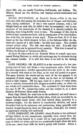
River Toutounis or Rogue's River,
Recent intensified erosion and massive sediment deposition in Tibetan Plateau rivers
Soil erosion assessment of a Himalayan river basin using TRMM data
River
Rivers
Rivers

River
Soil erosion modeling and sediment transport index analysis using USLE and GIS techniques in Ada’a watershed, Awash River Basin, Ethiopia
Bend in the river
Development of an erosion model for Langat River Basin, Malaysia, adapting GIS and RS in RUSLE
River Bank Erosion Induced Human Displacement and Its Consequences
Reduction of livelihood risk for river bank erosion affected villagers
River Toutounis or Rogue's River,
Recent intensified erosion and massive sediment deposition in Tibetan Plateau rivers
Soil erosion assessment of a Himalayan river basin using TRMM data
River
Rivers
Rivers
River