- Location
-
München, Bayerische Staatsbibliothek -- 4 Bibl.Mont. 3073
- Dimensions
-
23 x 31 cm, Bildgr. 58 x 67 cm, gefaltet
- Extent
-
1 Kt.
- Language
-
Deutsch
- Notes
-
Lithographie
Maßstab in graph. Form (Meilen). - Mit Erl.-Text u. Stadtwappen auf dem Kartenrand
- Keyword
-
Verwaltungsgrenze
Straßennetz
Regierungsbezirk Niederbayern
- Event
-
Veröffentlichung
- (where)
-
Passau
- (who)
-
Winkler
- (when)
-
[1836]
- Creator
- Contributor
- URN
-
urn:nbn:de:bvb:12-bsb00108212-6
- Last update
-
16.04.2025, 8:49 AM CEST
Data provider
This object is provided by:
Bayerische Staatsbibliothek. If you have any questions about the object, please contact the data provider.
Bayerische Staatsbibliothek. If you have any questions about the object, please contact the data provider.
Object type
- Altkarte
Associated
- Rudhart, Ignaz von
- Leythäuser, ...
- Zertahelly, Leonhard
- Winkler, Friedrich
- Winkler
Time of origin
- [1836]
Other Objects (12)
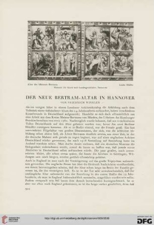
22: Der neue Bertram-Altar in Hannover

Friedrich Winkler: Kopulationsregister des 1. Edewechter Kirchenbuches 1636-1705 (mit Indices), 1986 (?) (Az. 981/690, Acc. 12/1987)
Studien zur Geschichte der niederländischen Miniaturmalerei des XV. und XVI. Jahrhunderts
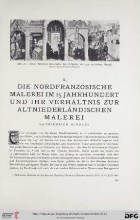
X. Die nordfranzösische Malerei im 15. Jahrhundert und ihr Verhältnis zur altniederländischen Malerei
Über die pränatale Entwicklung des Dünndarms des Rindes unter besonderer Berücksichtigung seines Epithels
Winkler, Friedrich. Forstinspektor in Kempten
13/14: De Troys "Vorlesung aus Molière" - ehemals in Sanssouci
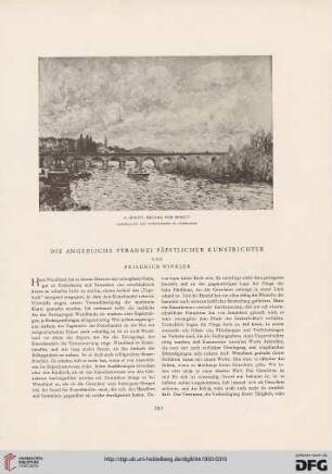
Die Angebliche Tyrannei Päpstlicher Kunstrichter
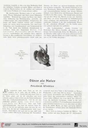
9/10: Dürer als Maler
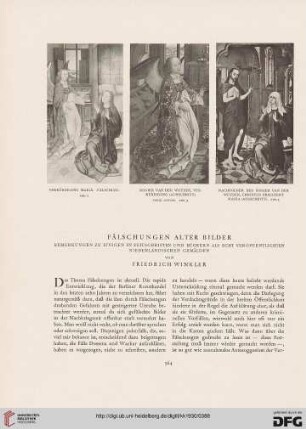
Fälschungen alter Bilder: Bemerkungen zu einigen Zeitschriften und Büchern als echt veröffentlichten Niederländischen Gemälden
Specification über Friederich Winklers zu Gotzendorff bey hiesigen Amte eingegebene Schulden betr., de anno 1723.
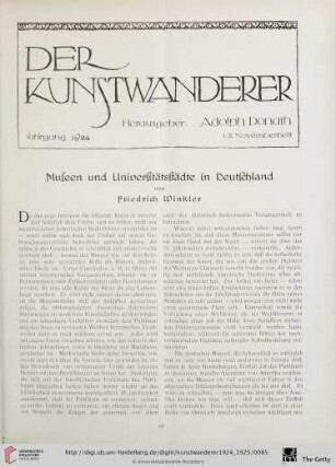
6/7: Museen und Universitätsstädte in Deutschland
22: Der neue Bertram-Altar in Hannover
Friedrich Winkler: Kopulationsregister des 1. Edewechter Kirchenbuches 1636-1705 (mit Indices), 1986 (?) (Az. 981/690, Acc. 12/1987)
Studien zur Geschichte der niederländischen Miniaturmalerei des XV. und XVI. Jahrhunderts
X. Die nordfranzösische Malerei im 15. Jahrhundert und ihr Verhältnis zur altniederländischen Malerei
Über die pränatale Entwicklung des Dünndarms des Rindes unter besonderer Berücksichtigung seines Epithels
Winkler, Friedrich. Forstinspektor in Kempten
13/14: De Troys "Vorlesung aus Molière" - ehemals in Sanssouci
Die Angebliche Tyrannei Päpstlicher Kunstrichter
9/10: Dürer als Maler
Fälschungen alter Bilder: Bemerkungen zu einigen Zeitschriften und Büchern als echt veröffentlichten Niederländischen Gemälden
Specification über Friederich Winklers zu Gotzendorff bey hiesigen Amte eingegebene Schulden betr., de anno 1723.