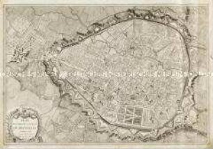
Stadtplan
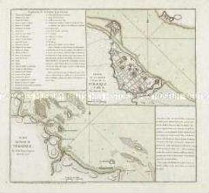
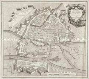
Plan de la Ville de Brest. Mit einer Nebenkarte: Carte de la Rade et du Port de Brest
- Alternative title
-
PLAN DE LA VILLE / DE BREST
- Location
-
Deutsches Historisches Museum, Berlin
- Inventory number
-
Do 2006/373
- Measurements
-
Höhe x Breite: 57,5 x 78 cm (Blatt)
Höhe x Breite: 36,4 x 33,9 cm (Karte)
Höhe x Breite: 38,7 x 67,5 cm (Platte)
- Material/Technique
-
Druckfarbe, Papier, koloriert, Kupferstich
- Classification
-
Kartografie (Gattung)
- Subject (what)
-
Frankreich
- Event
-
Herstellung
- (who)
-
Stecher, Verleger: Jean Lattré
Kartograf: P. L. Bermont
- (where)
-
Paris, Frankreich [historisch: Frankreich, Königreich]
- (when)
-
1779
- Rights
-
Deutsches Historisches Museum
- Last update
-
24.03.2023, 9:30 AM CET
Data provider
This object is provided by:
Stiftung Deutsches Historisches Museum. If you have any questions about the object, please contact the data provider.
Stiftung Deutsches Historisches Museum. If you have any questions about the object, please contact the data provider.
Object type
- Stadtplan
Associated
- Stecher, Verleger: Jean Lattré
- Kartograf: P. L. Bermont
Time of origin
- 1779
Other Objects (12)
Plano del Puerto de Veracruz. Mit einer Nebenkarte: Plano de la Ciudad y Plaza de la Veracruz
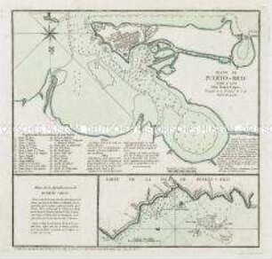
Plano de Puerto-Rico. Mit einer Nebenkarte: Parte de la Isla de Puerto-Rico
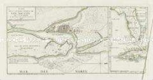
Plano de la Ciudad y Puerto de San Agustin. Mit einer Nebenkarte: (Florida, Kuba)
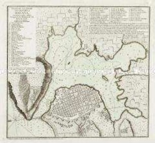
Plano de la Ciudad y Puerto de la Havana
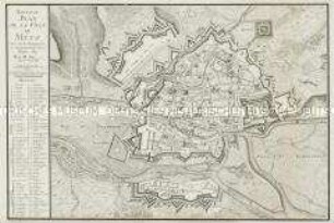
Plan de la Ville de Metz
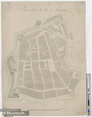
Plan de la Ville de Leipzig
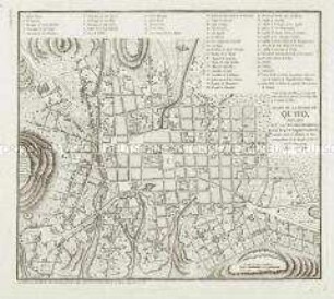
Plano De La Ciudad De Quito
Nouveau Plan de la Ville de Metz
Plan routier de la Ville de Bruxelles
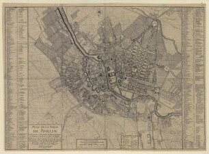
Plan de la Ville de BERLIN. Capitale de l`Electorat...

Plan de la Ville de Paris et de ses Faubourgs
Plan de la Ville et Chasteau de Namur
Plano del Puerto de Veracruz. Mit einer Nebenkarte: Plano de la Ciudad y Plaza de la Veracruz
Plano de Puerto-Rico. Mit einer Nebenkarte: Parte de la Isla de Puerto-Rico
Plano de la Ciudad y Puerto de San Agustin. Mit einer Nebenkarte: (Florida, Kuba)
Plano de la Ciudad y Puerto de la Havana
Plan de la Ville de Metz
Plan de la Ville de Leipzig
Plano De La Ciudad De Quito
Nouveau Plan de la Ville de Metz
Plan routier de la Ville de Bruxelles
Plan de la Ville de BERLIN. Capitale de l`Electorat...
Plan de la Ville de Paris et de ses Faubourgs