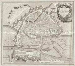
- Alternativer Titel
-
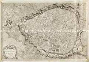
PLAN / DE LA VILLE ET CHASTEAU / DE NAMUR / Gravé par ordre du Roy
- Standort
-
Deutsches Historisches Museum, Berlin
- Inventarnummer
-
Do 2006/338
- Maße
-
Höhe x Breite: 58 x 79 cm (Blatt)
Höhe x Breite: 44,5 x 59,9 cm (Karte)
Höhe x Breite: 45,7 x 61 cm (Platte)
- Material/Technik
-
Druckfarbe, Papier, Kupferstich
- Klassifikation
-
Kartografie (Gattung)
- Bezug (was)
-
Namur
Belgien
- Ereignis
-
Herstellung
- (wer)
-
Geograph, Kartograf, Verleger: Alexis-Hubert Jaillot
- (wo)
-
Paris, Frankreich
- (wann)
-
um 1695
- Rechteinformation
-
Deutsches Historisches Museum
- Letzte Aktualisierung
- 24.03.2023, 08:30 UTC
Datenpartner
Dieses Objekt wird bereitgestellt von:
Stiftung Deutsches Historisches Museum. Bei Fragen zum Objekt wenden Sie sich bitte an den Datenpartner.
Stiftung Deutsches Historisches Museum. Bei Fragen zum Objekt wenden Sie sich bitte an den Datenpartner.
Objekttyp
- Stadtplan
Beteiligte
- Geograph, Kartograf, Verleger: Alexis-Hubert Jaillot
Entstanden
- um 1695
Ähnliche Objekte (12)
Französischer Stadtplan von Namur
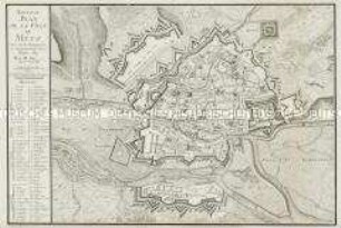
Plan de la Ville de Metz
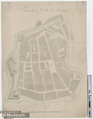
Plan de la Ville de Leipzig
Nouveau Plan de la Ville de Metz
Plan routier de la Ville de Bruxelles

Plan de la Ville et Residence de Dresde

La Ville de Berlin. pag 1
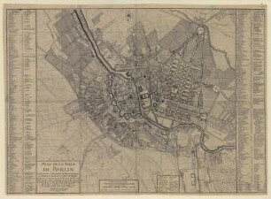
Plan de la Ville de BERLIN. Capitale de l`Electorat...

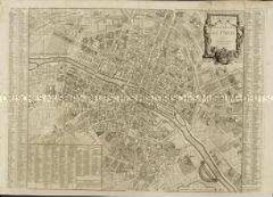
Plan de la Ville de Paris et de ses Faubourgs
Plan Routier de la Ville et Faubourg de Paris

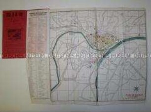
Plan De La Ville De Berlin. Mit zweisprachigem Straßenverzeichnis
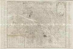
Nouveau Plan Routier de la Ville et Faubourgs de Paris
Französischer Stadtplan von Namur
Plan de la Ville de Metz
Plan de la Ville de Leipzig
Nouveau Plan de la Ville de Metz
Plan routier de la Ville de Bruxelles
Plan de la Ville et Residence de Dresde
La Ville de Berlin. pag 1
Plan de la Ville de BERLIN. Capitale de l`Electorat...
Plan de la Ville de Paris et de ses Faubourgs
Plan Routier de la Ville et Faubourg de Paris
Plan De La Ville De Berlin. Mit zweisprachigem Straßenverzeichnis