- Alternative title
-
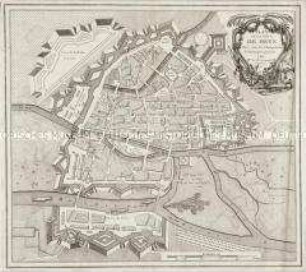
PLAN / DE LA VILLE ET CHASTEAU / DE NAMUR / Gravé par ordre du Roy
- Location
-
Deutsches Historisches Museum, Berlin
- Inventory number
-
Do 2006/338
- Measurements
-
Höhe x Breite: 58 x 79 cm (Blatt)
Höhe x Breite: 44,5 x 59,9 cm (Karte)
Höhe x Breite: 45,7 x 61 cm (Platte)
- Material/Technique
-
Druckfarbe, Papier, Kupferstich
- Classification
-
Kartografie (Gattung)
- Subject (what)
-
Namur
Belgien
- Event
-
Herstellung
- (who)
-
Geograph, Kartograf, Verleger: Alexis-Hubert Jaillot
- (where)
-
Paris, Frankreich
- (when)
-
um 1695
- Rights
-
Deutsches Historisches Museum
- Last update
-
24.03.2023, 9:30 AM CET
Data provider
This object is provided by:
Stiftung Deutsches Historisches Museum. If you have any questions about the object, please contact the data provider.
Stiftung Deutsches Historisches Museum. If you have any questions about the object, please contact the data provider.
Object type
- Stadtplan
Associated
- Geograph, Kartograf, Verleger: Alexis-Hubert Jaillot
Time of origin
- um 1695
Other Objects (12)
Französischer Stadtplan von Namur
Plan de la Ville de Metz
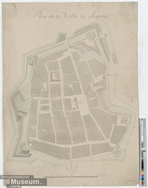
Plan de la Ville de Leipzig
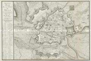
Nouveau Plan de la Ville de Metz
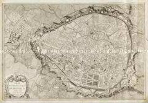
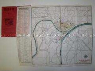
Plan routier de la Ville de Bruxelles
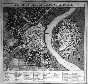
Plan de la Ville et Residence de Dresde

La Ville de Berlin. pag 1
Plan de la Ville de BERLIN. Capitale de l`Electorat...

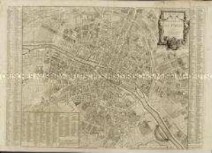
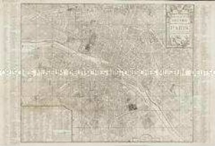
Plan de la Ville de Paris et de ses Faubourgs
Plan Routier de la Ville et Faubourg de Paris

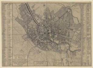
Plan De La Ville De Berlin. Mit zweisprachigem Straßenverzeichnis
Nouveau Plan Routier de la Ville et Faubourgs de Paris
Französischer Stadtplan von Namur
Plan de la Ville de Metz
Plan de la Ville de Leipzig
Nouveau Plan de la Ville de Metz
Plan routier de la Ville de Bruxelles
Plan de la Ville et Residence de Dresde
La Ville de Berlin. pag 1
Plan de la Ville de BERLIN. Capitale de l`Electorat...
Plan de la Ville de Paris et de ses Faubourgs
Plan Routier de la Ville et Faubourg de Paris
Plan De La Ville De Berlin. Mit zweisprachigem Straßenverzeichnis