Karten und Pläne
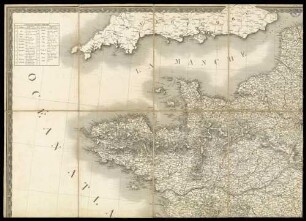
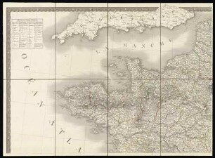
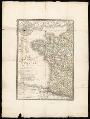
Nouvelle carte routière de France - mit Städteansichten, kleine Karte von Paris und Korsika
Begleittext: Indiquant les routes impériales et départementales avec leur distance en kilometres, les chemins de fer, canaux, rivières navigables, les itinéraires pour bâteaux a vapeur et les principaux phares.
- Reference number
-
8SL 050B Kartensammlung, 1210
- Dimensions
-
660 x 550
- Material
-
Papier
- Further information
-
Ausführung: Mehrfarbig
Maßstab: 1 : 750 000
Anzahl: 1
Druck / Verlag: Delêtre
- Context
-
Kartensammlung >> 21 Europakarten / Europäische Länder
- Holding
-
8SL 050B Kartensammlung Kartensammlung
- Date of creation
-
1858
- Other object pages
- Delivered via
- Last update
-
24.06.2025, 1:34 PM CEST
Data provider
This object is provided by:
Archiv der Evangelischen Kirche im Rheinland. If you have any questions about the object, please contact the data provider.
Archiv der Evangelischen Kirche im Rheinland. If you have any questions about the object, please contact the data provider.
Object type
- Karten / Pläne
Time of origin
- 1858
Other Objects (12)
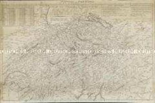
Nouvelle Carte Hydrographique et Routiere de la Suisse
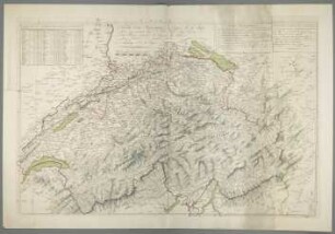
Nouvelle Carte Hydrographique et Routière de la Suisse

"Carte Politique Hydrographique Routiere de L'Europe"
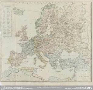
Carte politique, hydrographique & routiere de l'Europe
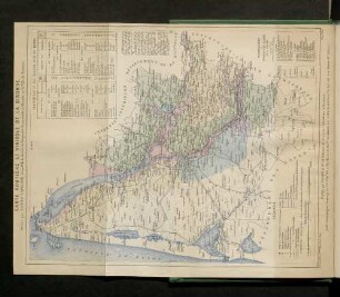
Carte routiere et vinicole de la Gironde
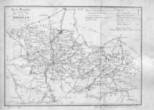
Carte routière du département de la Moselle.
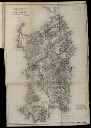
Carte Routiere de I'lle de Sardaigne
Carte physique, administrative et routiére de la France
Carte physique, administrative et routiére de la France
Novelle Carte Hydrographique et Routiere de la Suisse
Carte physique et routiére de la France, de la Suisse
Verkehrsdelinquenz : = Délinquance routière
Nouvelle Carte Hydrographique et Routiere de la Suisse
Nouvelle Carte Hydrographique et Routière de la Suisse
"Carte Politique Hydrographique Routiere de L'Europe"
Carte politique, hydrographique & routiere de l'Europe
Carte routiere et vinicole de la Gironde
Carte routière du département de la Moselle.
Carte Routiere de I'lle de Sardaigne
Carte physique, administrative et routiére de la France
Carte physique, administrative et routiére de la France
Novelle Carte Hydrographique et Routiere de la Suisse
Carte physique et routiére de la France, de la Suisse