Karten / Pläne
Münster (Westfalen), französisches Lager: Camp de Munster, Commandé par Mr. le Mal. d'Estrées, du 26 May au 4 Juin 1757. No. 6. I.V. Schley direx.
- Former reference number
-
Bibliothek Harff-Dreiborn, Landkarten Nr. 156
- Dimensions
-
Höhe: 11 cm, Breite: 18 cm
- Context
-
RW Karten >> 11. Militär >> 11.2. Truppen, Stützpunkte, Rüstung
- Holding
-
RW Karten
- Provenance
-
Diverse Registraturbildner
- Date of creation
-
[1757]
- Other object pages
- Delivered via
- Last update
-
24.06.2025, 1:39 PM CEST
Data provider
This object is provided by:
Landesarchiv Nordrhein-Westfalen. Abteilung Rheinland. If you have any questions about the object, please contact the data provider.
Landesarchiv Nordrhein-Westfalen. Abteilung Rheinland. If you have any questions about the object, please contact the data provider.
Object type
- Karten / Pläne
Associated
- Diverse Registraturbildner
Time of origin
- [1757]
Other Objects (12)
Olga d'Estree
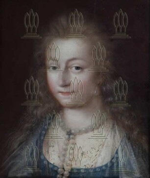
Gabriele d´Estrées
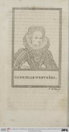
Gabrielle d'Estrées
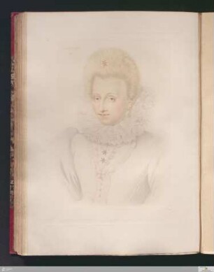
Gabrielle d'Estrées
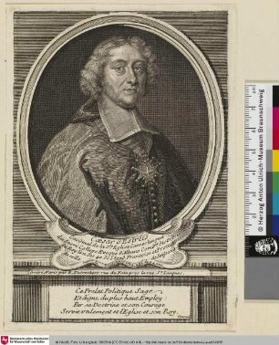
Caesar d'Estrées
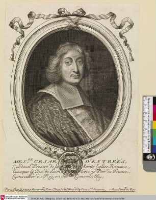
Cesar d'Estréés
![[Gabrielle d'Estrées]](https://iiif.deutsche-digitale-bibliothek.de/image/2/dfddaa2b-c602-42ce-a270-f59a8f9c32e8/full/!306,450/0/default.jpg)
[Gabrielle d'Estrées]
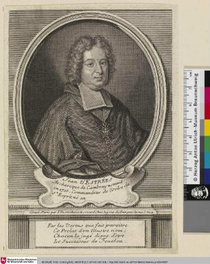
Jean d'Estrées
![Ceaser Destrees [César, Cardinal d'Estrées]](https://iiif.deutsche-digitale-bibliothek.de/image/2/c4d044c3-f1a4-486b-a1db-1ade1570fca8/full/!306,450/0/default.jpg)
Ceaser Destrees [César, Cardinal d'Estrées]
Cardinal Cesare d'Estrées

Bildnis Gabrielle d’Estrées
Bildnis des César d’Estrées
Olga d'Estree
Gabriele d´Estrées
Gabrielle d'Estrées
Gabrielle d'Estrées
Caesar d'Estrées
Cesar d'Estréés
[Gabrielle d'Estrées]
Jean d'Estrées
Ceaser Destrees [César, Cardinal d'Estrées]
Cardinal Cesare d'Estrées
Bildnis Gabrielle d’Estrées
Bildnis des César d’Estrées
Olga d'Estree
Gabriele d´Estrées
Gabrielle d'Estrées
Gabrielle d'Estrées
Caesar d'Estrées
Cesar d'Estréés
[Gabrielle d'Estrées]
Jean d'Estrées
Ceaser Destrees [César, Cardinal d'Estrées]
Cardinal Cesare d'Estrées
Bildnis Gabrielle d’Estrées