- Alternative title
-
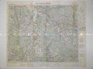
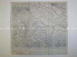
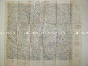
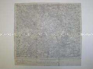
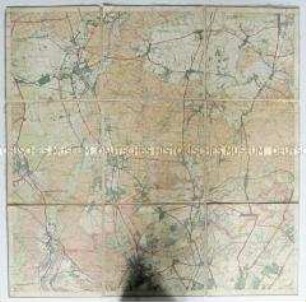
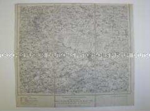
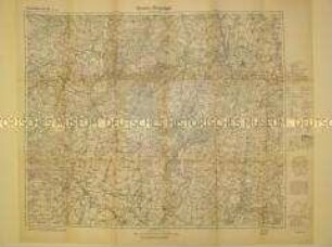
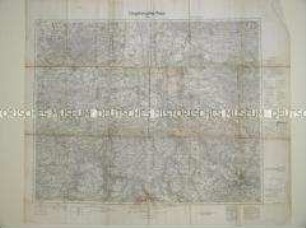
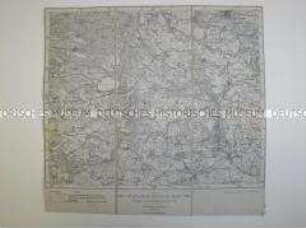
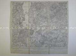
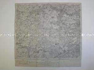
Reichskarte / Umgebung von Lüneburg
- Location
-
Deutsches Historisches Museum, Berlin
- Inventory number
-
Do 83/165I
- Measurements
-
Höhe x Breite: 65 x 76,4 cm
- Material/Technique
-
Papier, gedruckt
- Classification
-
Kartografie (Gattung)
- Subject (what)
-
Topographie
- Event
-
Herstellung
- (who)
-
Herausgeber: Verlag des Reichsamts für Landesaufnahme
- (where)
-
Berlin, Deutschland [historisch: Deutsches Reich]
- (when)
-
1927
- Rights
-
Deutsches Historisches Museum
- Last update
-
24.03.2023, 9:29 AM CET
Data provider
This object is provided by:
Stiftung Deutsches Historisches Museum. If you have any questions about the object, please contact the data provider.
Stiftung Deutsches Historisches Museum. If you have any questions about the object, please contact the data provider.
Object type
- Topographische Karte
Associated
- Herausgeber: Verlag des Reichsamts für Landesaufnahme
Time of origin
- 1927
Other Objects (12)
Topografische Karte des Gebietes um Guben
Topografische Karte des Gebietes um Harburg
Topografische Karte des Gebietes um Ratzeburg
Topografische Karte des Gebietes um Amelinghausen
Topografische Karte des Gebietes von Oranienburg
Topografische Karte des Gebietes um Salzwedel
Topografische Karte des Gebietes um Gnesen
Topografische Karte des Gebietes um Riesa

Topografische Karte des Gebietes um Bocholt
Topografische Karte des Gebietes um Wittenberge
Topografische Karte des Gebietes um Schwerin
Topografische Karte des Gebietes um Buxtehude
Topografische Karte des Gebietes um Guben
Topografische Karte des Gebietes um Harburg
Topografische Karte des Gebietes um Ratzeburg
Topografische Karte des Gebietes um Amelinghausen
Topografische Karte des Gebietes von Oranienburg
Topografische Karte des Gebietes um Salzwedel
Topografische Karte des Gebietes um Gnesen
Topografische Karte des Gebietes um Riesa
Topografische Karte des Gebietes um Bocholt
Topografische Karte des Gebietes um Wittenberge
Topografische Karte des Gebietes um Schwerin