Karte
Carta di Montenegro (Crna gora) : Coi confini descritti dalla commissione austriaca, inglese e francese negli anni 1859 e 1860
- Standort
-
Leibniz-Institut für Länderkunde e.V., Leipzig
- Weitere Nummer(n)
-
HK 0558 (Signatur)
- Material/Technik
-
Grenzen kolor.
- Inschrift/Beschriftung
-
Maßstab in graph. Form (Klafter austriache, Metri francesi). - Titel und Maßstab oben links. - NO oben. - Relief: plastisch
- Bezug (was)
-
Altkarte
Montenegro
- Ereignis
-
Veröffentlichung
- (wer)
-
Presso Artaria e Comp[an]i (Verlag)
- (wo)
-
Vienna
- (wann)
-
[c.a 1860]
- Rechteinformation
-
Leibniz-Institut für Länderkunde e.V.
- Letzte Aktualisierung
-
15.05.2025, 12:44 MESZ
Datenpartner
Dieses Objekt wird bereitgestellt von:
Leibniz-Institut für Länderkunde e. V.. Bei Fragen zum Objekt wenden Sie sich bitte an den Datenpartner.
Leibniz-Institut für Länderkunde e. V.. Bei Fragen zum Objekt wenden Sie sich bitte an den Datenpartner.
Objekttyp
- Karte
Beteiligte
- Presso Artaria e Comp[an]i (Verlag)
Entstanden
- [c.a 1860]
Ähnliche Objekte (12)

Italoamericano : Italiano e inglese in contatto negli USA ; analisi diacronica variazionale e migrazionale
Inglese
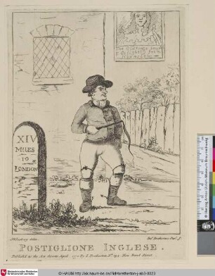
Postiglione Inglese

cor inglese

cor inglese

cor inglese

cor inglese
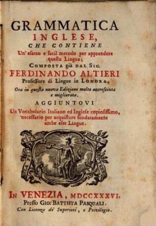
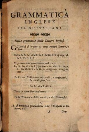
Grammatica Inglese
Giardino Inglese
Grammatica Inglese

Elenco de' monumenti descritti
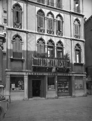
Farmacia Italo Inglese
Italoamericano : Italiano e inglese in contatto negli USA ; analisi diacronica variazionale e migrazionale
Inglese
Postiglione Inglese
cor inglese
cor inglese
cor inglese
cor inglese
Grammatica Inglese
Giardino Inglese
Grammatica Inglese
Elenco de' monumenti descritti
Farmacia Italo Inglese
Italoamericano : Italiano e inglese in contatto negli USA ; analisi diacronica variazionale e migrazionale
Inglese
Postiglione Inglese
cor inglese
cor inglese
cor inglese
cor inglese
Grammatica Inglese
Giardino Inglese
Grammatica Inglese
Elenco de' monumenti descritti