Atlas
Bl. 73: Ostindische Inselwelt, heute Malaysia, Philippinen, Indonesien, 1944 : Bl. 73 : Ostindische Inseln : (Archipel des Indes Orientales, East Indian Archipelago, Arcipelago delle Indie Orientali, Archipiélago de las Indias Orientales) / Leitung: H. Haack. - 10. Aufl. / Hundertjahr-Ausg. ; 1944, 11. - 1:7 500 000. - Gotha : Perthes , 1944. - 5 Kt. auf 1 Bl. : mehrfarb. ; 42 x 33 cm. - Mit 6 Nebenkt. - Aus: Stielers Handatlas, [Bl.] 73
Bl. 73 : Ostindische Inseln : (Archipel des Indes Orientales, East Indian Archipelago, Arcipelago delle Indie Orientali, Archipiélago de las Indias Orientales) / Leitung: H. Haack. - 10. Aufl. / Hundertjahr-Ausg. ; 1944, 11. - 1:7 500 000. - Gotha : Perthes , 1944. - 5 Kt. auf 1 Bl. : mehrfarb. ; 42 x 33 cm. - Mit 6 Nebenkt. - Aus: Stielers Handatlas, [Bl.] 73
- Inventory number
-
SLUB/KS 31987,73b
- Other number(s)
-
df_dk_0009587_0073 (Aufnahmenummer)
90067669 (Dokumentennummer)
ppn429913184 (Verzeichnis/PPN)
kxpppn1499913184 (Verzeichnis/PPN)
1499913184 (Verzeichnis/PPN)
- Measurements
-
33 x 42 cm (Werk/Vorlage)
- Classification
-
Druckgrafik (Gattung)
- Subject (what)
-
Atlas
Länderkarte
Grenzen
Relief
Asien
Asia
Südostasien
Southeast Asia
Malaysia
Philippinen
Philippines
Indonesien
Indonesia
- Subject (where)
-
Malaysia (Dargestellter Ort)
Philippinen (Dargestellter Ort)
Indonesien (Dargestellter Ort)
Java, Indonesien (Dargestellter Ort)
Borneo (Dargestellter Ort)
- Subject (event)
-
Herstellung
- (who)
-
Stieler, Adolf (Kartograf)
- (when)
-
1944
- (description)
-
Erschaffung abgebildetes Objekt
Kupferstich, Kupferstich (Material/Technik)
- Sponsorship
-
Digitalisierungsprojekt: DFG-Karten
- Rights
-
Bitte beachten Sie die Nutzungsbedingungen der Deutschen Fotothek.
- Last update
- 05.03.2025, 4:17 PM CET
Data provider
This object is provided by:
Deutsche Fotothek. If you have any questions about the object, please contact the data provider.
Deutsche Fotothek. If you have any questions about the object, please contact the data provider.
Object type
- Atlas
Associated
- Stieler, Adolf (Kartograf)
Time of origin
- 1944
Other Objects (12)

Bl. 73

Bl. 73

Bl. 73

Bl. 73

Bl. 73
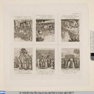
Ostindische Gebräuche
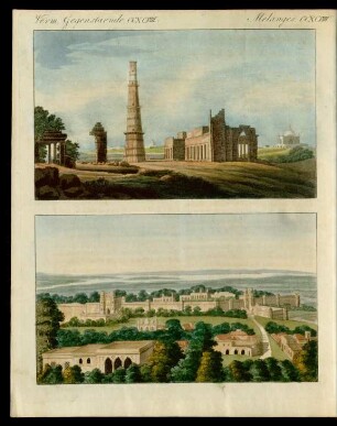
Ostindische Bauwerke.

Ostindische Mission
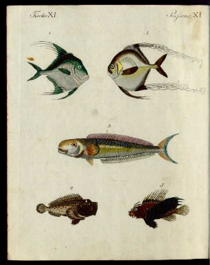
Ostindische Fische.
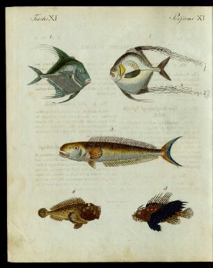
Ostindische Fische.
Ostindische Kompanie

Wasserzeichen (Bl. 73).
Bl. 73
Bl. 73
Bl. 73
Bl. 73
Bl. 73
Ostindische Gebräuche
Ostindische Bauwerke.
Ostindische Mission
Ostindische Fische.
Ostindische Fische.
Ostindische Kompanie
Wasserzeichen (Bl. 73).
Bl. 73
Bl. 73
Bl. 73
Bl. 73
Bl. 73
Ostindische Gebräuche
Ostindische Bauwerke.
Ostindische Mission
Ostindische Fische.
Ostindische Fische.
Ostindische Kompanie