Karte
Pl. II. Maps showing the relative states in A.D. 1840 and A.D. 1855 of the sands & shoals at the head of the Mahanuddy Delta

- Sprache
-
Englisch
- Erschienen in
-
Harris, John C.. - Maps and plans illustrative of a report upon the extraordinary flood of A. D. 1855 as affecting the city of Cuttack
- Erschienen
-
1857
- Letzte Aktualisierung
-
22.04.2025, 14:14 MESZ
Datenpartner
Dieses Objekt wird bereitgestellt von:
Staatsbibliothek zu Berlin - Preußischer Kulturbesitz. Bei Fragen zum Objekt wenden Sie sich bitte an den Datenpartner.
Staatsbibliothek zu Berlin - Preußischer Kulturbesitz. Bei Fragen zum Objekt wenden Sie sich bitte an den Datenpartner.
Objekttyp
- Karte
Entstanden
- 1857
Ähnliche Objekte (12)

Showing the way
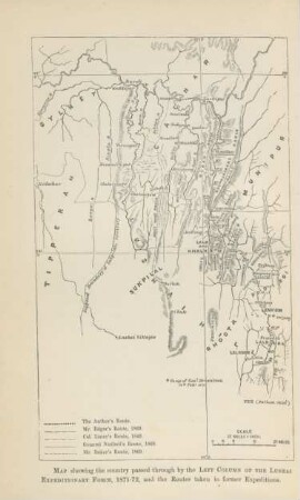
Map showing the country ...
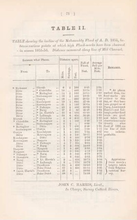
Table II. Table showing the incline of the Mahanuddy Flood of A.D. 1855,
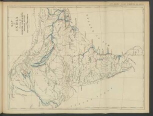
Map of India Showing the Principal Canal & Delta irrication systems and navicable waterways.
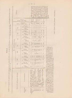
Table. 3. Table showing the most important routes to the sea, from the heads of the deltas of Mohanuddy and Bralimanee rivers ...
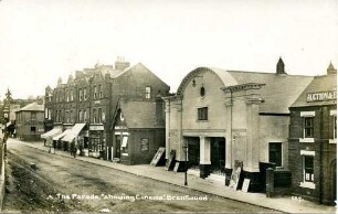
The Parade, "showing Cinema", Brentwood
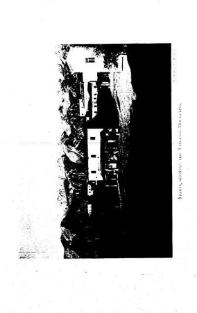
Sparta, showing the Taygetos Mountains
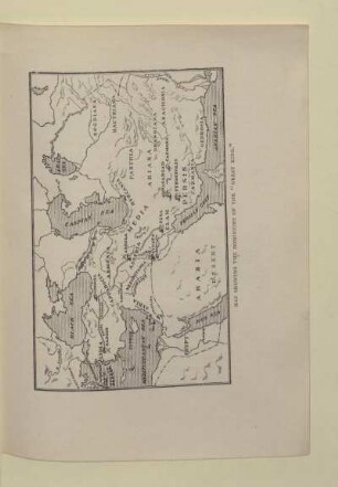
MAP SHOWING THE DOMINIONS OF THE "GREAT KING"

Maps to the Stars

Maps to the Stars
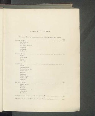
Index to the maps.

Maps to the Stars
Showing the way
Map showing the country ...
Table II. Table showing the incline of the Mahanuddy Flood of A.D. 1855,
Map of India Showing the Principal Canal & Delta irrication systems and navicable waterways.
Table. 3. Table showing the most important routes to the sea, from the heads of the deltas of Mohanuddy and Bralimanee rivers ...
The Parade, "showing Cinema", Brentwood
Sparta, showing the Taygetos Mountains
MAP SHOWING THE DOMINIONS OF THE "GREAT KING"
Maps to the Stars
Maps to the Stars
Index to the maps.
Maps to the Stars
Showing the way
Map showing the country ...
Table II. Table showing the incline of the Mahanuddy Flood of A.D. 1855,
Map of India Showing the Principal Canal & Delta irrication systems and navicable waterways.
Table. 3. Table showing the most important routes to the sea, from the heads of the deltas of Mohanuddy and Bralimanee rivers ...
The Parade, "showing Cinema", Brentwood
Sparta, showing the Taygetos Mountains
MAP SHOWING THE DOMINIONS OF THE "GREAT KING"
Maps to the Stars
Maps to the Stars
Index to the maps.