Karte
Plan of the strait withion Poolo Pinang withpart of the adjacent coast od Quedah by Captn. James Scott

- Sprache
-
Englisch
- Erschienen in
-
Trapaud, Elisha. - A Short Account Of The Prince Of Wales's Island, Or Pulo Peenang, In The East-Indies; Given To Capt. Light, By The King Of Quedah : Ornamented with an elegant Engraving, representing "A View of the North Point of the Prince Of "Wales's Island, and the ceremony of christening it" ; Also A Chart, Including The Plan Of The Island
- Beteiligte Personen und Organisationen
-
Scott, James
- Erschienen
-
1788
- Letzte Aktualisierung
-
22.04.2025, 14:05 MESZ
Datenpartner
Dieses Objekt wird bereitgestellt von:
Staatsbibliothek zu Berlin - Preußischer Kulturbesitz. Bei Fragen zum Objekt wenden Sie sich bitte an den Datenpartner.
Staatsbibliothek zu Berlin - Preußischer Kulturbesitz. Bei Fragen zum Objekt wenden Sie sich bitte an den Datenpartner.
Objekttyp
- Karte
Beteiligte
- Scott, James
Entstanden
- 1788
Ähnliche Objekte (12)
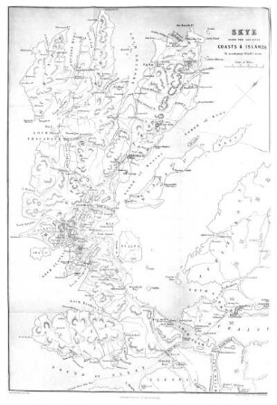
Island of Skye and Adjacent Coast.
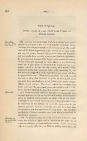
Chapter IX. South coast of Java from Baly Strait to Sunda Strait
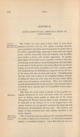
Chapter IX. South coast of Java, from Baly Strait to Sunda Strait
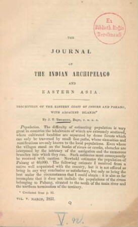
Description of the eastern coast of Johore and Pahang, with adjacent islands

The Strait Guys

Bathsheba Demuth, Floating Coast. An Environmental History of the Bering Strait. London, Norton 2019
Chapter I. North-east coast of Java and Baly Strait
Chapter I. North-east coast of Java and Baly Strait
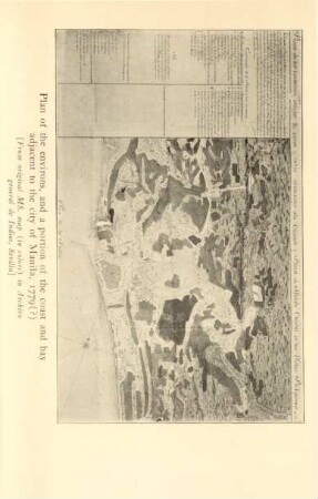
Plan of the environs, and a portion of the coast and bay adjacent to the city of Manila, 1779 (?)
Chapter I. From the Strait of Sunda to the Strait of Banca
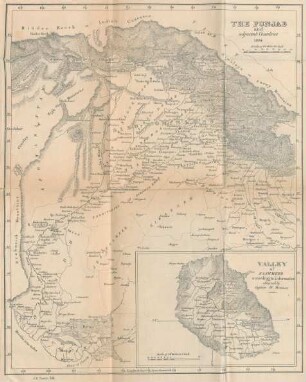
The Punjab and adjacent countries

Greenland, the adjacent seas and the North-West passage to the Pacific Ocean : illustrated in a voyage to Davis Strait, during the summer of 1817
Island of Skye and Adjacent Coast.
Chapter IX. South coast of Java from Baly Strait to Sunda Strait
Chapter IX. South coast of Java, from Baly Strait to Sunda Strait
Description of the eastern coast of Johore and Pahang, with adjacent islands
The Strait Guys
Bathsheba Demuth, Floating Coast. An Environmental History of the Bering Strait. London, Norton 2019
Chapter I. North-east coast of Java and Baly Strait
Chapter I. North-east coast of Java and Baly Strait
Plan of the environs, and a portion of the coast and bay adjacent to the city of Manila, 1779 (?)
Chapter I. From the Strait of Sunda to the Strait of Banca
The Punjab and adjacent countries