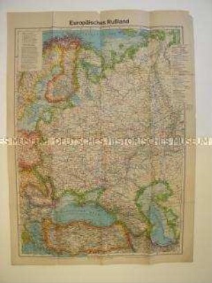
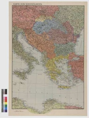
Politisch-administrative Karte
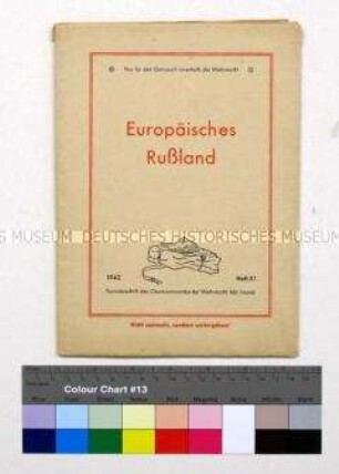
Politisch-administrative Karte des europäischen Teil der UdSSR (Tornisterschrift der Wehrmacht)
- Alternativer Titel
-
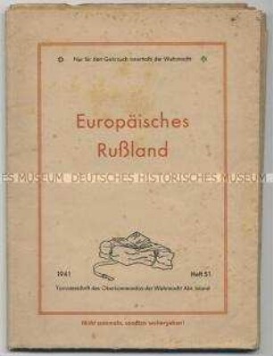
Europäisches Rußland
- Standort
-
Deutsches Historisches Museum, Berlin
- Inventarnummer
-
Do 70/610II
- Maße
-
Höhe x Breite: 87,4 x 64 cm
- Material/Technik
-
Papier, gedruckt
- Klassifikation
-
Kartografie (Gattung)
- Bezug (was)
-
Wehrmacht (Deutschland)
Weltkrieg, 2.
- Ereignis
-
Herstellung
- (wer)
-
Herausgeber: Wehrmacht, Oberkommando
- (wo)
-
Berlin, Deutschland [historisch: Deutsches Reich]
- (wann)
-
1941
- Rechteinformation
-
Deutsches Historisches Museum
- Letzte Aktualisierung
-
24.03.2023, 09:27 MEZ
Datenpartner
Dieses Objekt wird bereitgestellt von:
Stiftung Deutsches Historisches Museum. Bei Fragen zum Objekt wenden Sie sich bitte an den Datenpartner.
Stiftung Deutsches Historisches Museum. Bei Fragen zum Objekt wenden Sie sich bitte an den Datenpartner.
Objekttyp
- Politisch-administrative Karte
Beteiligte
- Herausgeber: Wehrmacht, Oberkommando
Entstanden
- 1941
Ähnliche Objekte (12)
Politisch-administrative Karte des europäischen Teils der UdSSR für die Wehrmacht (Tornisterschrift)

Politisch-administrative Karte von Afrika (Tornisterschrift der Wehrmacht)
Politisch-geografische Karte vom europäischen Teil der UdSSR (Tornisterschrift der Wehrmacht)
Politisch-geografische Karte des europäischen Teil der UdSSR nach dem Überfall der Wehrmacht (Tornisterschrift der Wehrmacht)
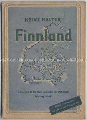
Tornisterschrift der Wehrmacht über Finnland

Geografische Karte für die Wehrmacht (Tornisterschrift)
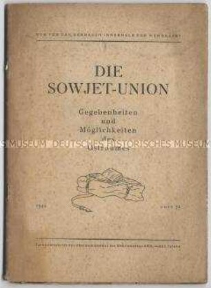
Tornisterschrift der Wehrmacht über die Sowjetunion
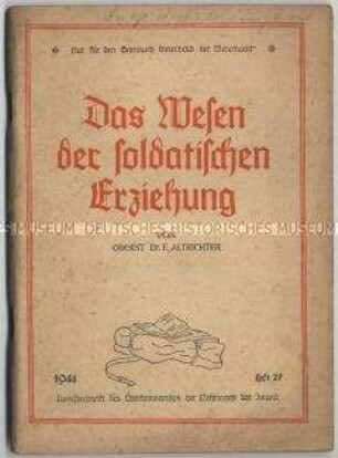
Tornisterschrift der Wehrmacht über die soldatische Erziehung
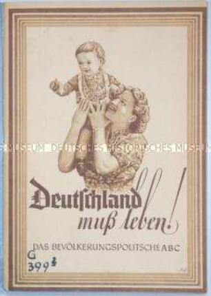
Tornisterschrift der Wehrmacht über die nationalsozialistische Bevölkerungspolitik
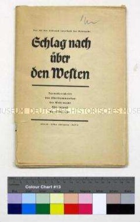
Tornisterschrift des Oberkommandos der Wehrmacht Abt. Inland
Karte des Oberkommandos der Wehrmacht (Beilage einer Tornisterschrift)
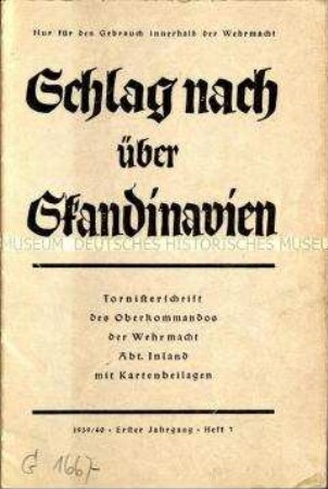
Sogenannte Tornisterschrift des Oberkommandos der Wehrmacht über Skandinavien
Politisch-administrative Karte des europäischen Teils der UdSSR für die Wehrmacht (Tornisterschrift)
Politisch-administrative Karte von Afrika (Tornisterschrift der Wehrmacht)
Politisch-geografische Karte vom europäischen Teil der UdSSR (Tornisterschrift der Wehrmacht)
Politisch-geografische Karte des europäischen Teil der UdSSR nach dem Überfall der Wehrmacht (Tornisterschrift der Wehrmacht)
Tornisterschrift der Wehrmacht über Finnland
Geografische Karte für die Wehrmacht (Tornisterschrift)
Tornisterschrift der Wehrmacht über die Sowjetunion
Tornisterschrift der Wehrmacht über die soldatische Erziehung
Tornisterschrift der Wehrmacht über die nationalsozialistische Bevölkerungspolitik
Tornisterschrift des Oberkommandos der Wehrmacht Abt. Inland
Karte des Oberkommandos der Wehrmacht (Beilage einer Tornisterschrift)