- Reference number
-
5-1-18 Sammlung Vogel, Kaiserswerth, 5-1-18-18.0000
- Dimensions
-
470x390
- Formal description
-
Topografische, nordorientierte Karte des Rheins zwischen Germersheim und Rheinberg; Allendorf-Germersheim-Trier-Rheinberg, darin: Kayserswerd; Zeichnung einer italienisch anmutenden Landschaft am unteren Bildrand; Das Blatt trägt oben rechts im Bereich der Druckplatte die Nummerierung F XIII. Presso Antonio Zatta, Con Privilegio dell’ Eccmo Senato, G. Zuliani, inc. G. Pitteri, scrisse Kupferstich, teilweise coloriert. Leghe comuni di Germania Da 15 al grado Miglia comuni d’Italia da 60 al Grado
- Material
-
Papier
- Further information
-
Ausführung: farbig; Stich
- Context
-
Sammlung Vogel, Kaiserswerth >> Karten und Pläne; 1. Karten
- Holding
-
5-1-18 Sammlung Vogel, Kaiserswerth Sammlung Vogel, Kaiserswerth
- Indexentry person
- Date of creation
-
1780
- Other object pages
- Delivered via
- Last update
-
30.04.2025, 3:13 PM CEST
Data provider
This object is provided by:
Stadtarchiv Düsseldorf. If you have any questions about the object, please contact the data provider.
Stadtarchiv Düsseldorf. If you have any questions about the object, please contact the data provider.
Object type
- Karten / Pläne
Time of origin
- 1780
Other Objects (12)
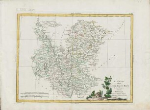
Li Circoli Dell'Alto,E Basso Reno : Di Nuova Projezione ; Con Privilegio dell'Eccellentissimo Senato
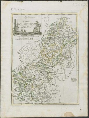
Il Circolo Dell ' Alto Reno
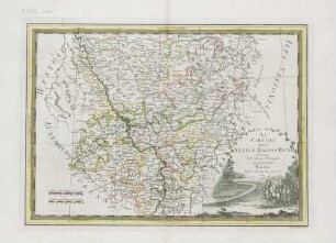
Li Circoli Dell'Alto E Basso Reno : Delineati sulle ultime observazioni
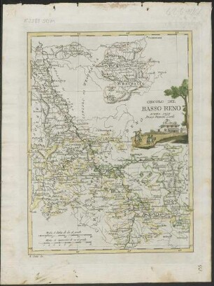
Circolo Del Basso Reno
Basso / Alto.

I castelli del Basso Trentino e dell’Alto Garda
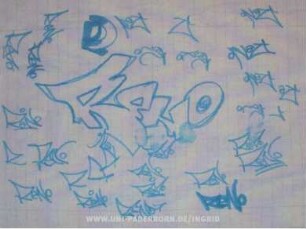
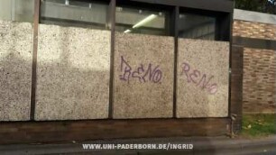
ReNO | ReNo
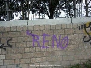
RENo.
RENO
RENO
RENO
RENO
Li Circoli Dell'Alto,E Basso Reno : Di Nuova Projezione ; Con Privilegio dell'Eccellentissimo Senato
Il Circolo Dell ' Alto Reno
Li Circoli Dell'Alto E Basso Reno : Delineati sulle ultime observazioni
Circolo Del Basso Reno
Basso / Alto.
I castelli del Basso Trentino e dell’Alto Garda
ReNO | ReNo
RENo.
RENO
RENO
RENO