Karten und Pläne
"A Map of The Provinces of New-York and New-Yersey, with a part of Pennsylvania and the Province of Quebec from the Topographical Observations"
- Reference number
-
Sächsisches Staatsarchiv, 11373 Kartensammlung des Sächsischen Kriegsarchivs, Nr. KA F 018, Nr 065 (Zu benutzen im Hauptstaatsarchiv Dresden)
- Further information
-
Fertigungsart: Kupferstich, farbig
Personen/Institutionen: C. J. Lauthier (Zeichner); M. Albert Lotter, Augsburg (Verleger).
Maßstab: Engl. Statute Miles 69 1/2 to a degree; 60 = 9 cm
Format: 77 x 58 cm
- Context
-
11373 Kartensammlung des Sächsischen Kriegsarchivs >> 06. Weltteile und Erde >> 06.02. Amerika >> 06.02.03. Amerika, Nord-
- Holding
-
11373 Kartensammlung des Sächsischen Kriegsarchivs
- Date of creation
-
1777
- Other object pages
- Rights
-
Es gilt die Sächsische Archivbenutzungsverordnung vom 8. September 2022 (SächsGVBl. S. 526).
- Last update
-
21.03.2024, 8:20 AM CET
Data provider
This object is provided by:
Sächsisches Staatsarchiv. If you have any questions about the object, please contact the data provider.
Sächsisches Staatsarchiv. If you have any questions about the object, please contact the data provider.
Object type
- Karten und Pläne
Time of origin
- 1777
Other Objects (12)

Contributions to the palaeontology of New-York
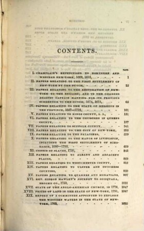
The documentary history of the state of New-York, 3
The documentary history of the state of New-York, 2
The documentary history of the state of New-York, 1

Palaeontology of New-York, 1. Containing descriptions of the organic remains of the lower division of the New-York system : (equivalent of the lower silurian rocks of Europe)
New-York Code : First report of the Commissioners of the Code, I

Official Catalogue of the New-York Exhibition of the industry of all nations : 1853
Mineralogy of New-York : comprising detailed descriptions of the minerals hitherto found in the state of New-York, and notices of their uses in the arts and agriculture
The Topographical Anatomy of the Child
Palaeontology of New-York, 2. Containing descriptions of the organic remains of the lower middle division of the New-York system : (equivalent in part to the middle silurian rocks of Europe)
A memoir on the subject of the Wheat and Flour of the state of New-York
School of Pedagogy New-York University
Contributions to the palaeontology of New-York
The documentary history of the state of New-York, 3
The documentary history of the state of New-York, 2
The documentary history of the state of New-York, 1
Palaeontology of New-York, 1. Containing descriptions of the organic remains of the lower division of the New-York system : (equivalent of the lower silurian rocks of Europe)
New-York Code : First report of the Commissioners of the Code, I
Official Catalogue of the New-York Exhibition of the industry of all nations : 1853
Mineralogy of New-York : comprising detailed descriptions of the minerals hitherto found in the state of New-York, and notices of their uses in the arts and agriculture
The Topographical Anatomy of the Child
Palaeontology of New-York, 2. Containing descriptions of the organic remains of the lower middle division of the New-York system : (equivalent in part to the middle silurian rocks of Europe)
A memoir on the subject of the Wheat and Flour of the state of New-York