Verzeichnung
Karte der Deiche im Fürstentum Jever, Carolinensiel, Horumersiel, Hooksiel Maßstab: 1:20.000
- Reference number
-
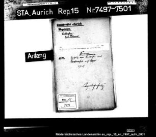
NLA OL, K-ZE, Best. 298 Z Nr. 392
- Further information
-
Identifikation: Band:
- Context
-
Zentraler Kartenbestand Oldenburg >> 5 Bezirksregierung Weser-Ems >> 5.19 Ehemaliger Verwaltungsbezirk Oldenburg bzw. dessen Vorgängerstaaten >> 5.19.6 Deiche und Anwächse, Geländeprofile >> 5.19.6.3 Deichkarten
- Holding
-
NLA OL, K-ZE Zentraler Kartenbestand Oldenburg
- Indexentry place
-
Carolinensiel, Karte
Hooksiel, Karte
Horumersiel, Karte
Jever, Deich, Karte
Jever, Fürstentum, Karte
- Date of creation
-
- 1812
- Other object pages
- Last update
-
16.06.2025, 11:08 AM CEST
Data provider
This object is provided by:
Niedersächsisches Landesarchiv. If you have any questions about the object, please contact the data provider.
Niedersächsisches Landesarchiv. If you have any questions about the object, please contact the data provider.
Object type
- Verzeichnung
Time of origin
- - 1812
Other Objects (12)

Hooksiel, Horumersiel und Schillig - meine Urlaubsorte
49. Jever - Hooksiel - Pakens.
51. Jever - Horumersiel über Hohenkirchen.
Hooksiel, der Vorhafen d. "Koopstadt" Jever
Karte der oldenburgischen Küstenlinie mit Hooksiel, Crildumersiel, Hohenstiefersiel und Horumersiel (Laufzeit erschlossen)
Erbauung von Waageschuppen für die Steuerämter Horumersiel, Hooksiel, Rüstersiel und Großensiel, auch Mariensiel
Verlauf des geplanten Kanals von Aurich nach Wittmund mit Einzeichnung der anliegenden Gemarkungen und der Ortschaften Carolinensiel, Jever und Hooksiel
Horumersiel
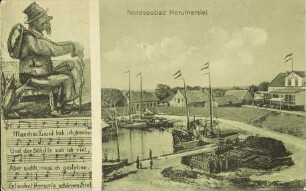
Nordseebad Horumersiel
Der Beitrag der Gemeinde Carolinensiel zur Landstraße nach Jever
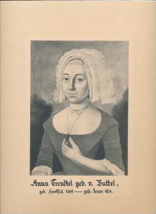
"Anna Trendtel geb. v. Buttel, geb. Hooksiel 1769 - gest. Jever 1824."

Wangerland-Pakens-Hooksiel , Straße Wilhelmshaven-Hooksiel
Hooksiel, Horumersiel und Schillig - meine Urlaubsorte
49. Jever - Hooksiel - Pakens.
51. Jever - Horumersiel über Hohenkirchen.
Hooksiel, der Vorhafen d. "Koopstadt" Jever
Karte der oldenburgischen Küstenlinie mit Hooksiel, Crildumersiel, Hohenstiefersiel und Horumersiel (Laufzeit erschlossen)
Erbauung von Waageschuppen für die Steuerämter Horumersiel, Hooksiel, Rüstersiel und Großensiel, auch Mariensiel
Verlauf des geplanten Kanals von Aurich nach Wittmund mit Einzeichnung der anliegenden Gemarkungen und der Ortschaften Carolinensiel, Jever und Hooksiel
Horumersiel
Nordseebad Horumersiel
Der Beitrag der Gemeinde Carolinensiel zur Landstraße nach Jever
"Anna Trendtel geb. v. Buttel, geb. Hooksiel 1769 - gest. Jever 1824."