- Alternative title
-
LA GLORIEUSE CAMPAGNE DE PHILIPPE V. / AUX ENVIRONS DU TAGE Dans les Provinces DE BEIRA, ESTRAMADURA ET ALENTEJO. / Par N. de Fer Geographe de sa Majesté Catolique et du Monseigneur le Dauphin. A Paris chez l'Auteur dans l'Isle du Palais a la Spere Royale. 1704.
- Location
-
Deutsches Historisches Museum, Berlin
- Inventory number
-
Do 2006/748
- Measurements
-
Höhe x Breite: 45,5 x 48,7 cm (Blatt)
Höhe x Breite: 43,4 x 45 cm (Karte)
Höhe x Breite: 44,5 x 46,5 cm (Platte)
- Material/Technique
-
Papier, Kupferstich, grenzkoloriert
- Classification
-
Kartografie (Gattung)
- Subject (what)
-
Spanien
Portugal
- Event
-
Herstellung
- (who)
-
Geograph, Stecher, Verleger: Nicolas de Fer
- (where)
-
Paris, Frankreich
- (when)
-
1704
- Rights
-
Deutsches Historisches Museum
- Last update
-
24.03.2023, 9:29 AM CET
Data provider
This object is provided by:
Stiftung Deutsches Historisches Museum. If you have any questions about the object, please contact the data provider.
Stiftung Deutsches Historisches Museum. If you have any questions about the object, please contact the data provider.
Object type
- Militärgeschichtliche Karte
Associated
- Geograph, Stecher, Verleger: Nicolas de Fer
Time of origin
- 1704
Other Objects (12)

Sur la voie glorieuse
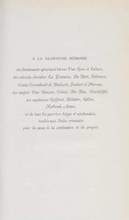
A la glorieuse mémoire ...
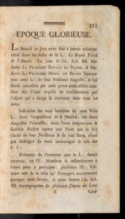
Epoque Glorieuse.
La "glorieuse retraite" de Mussolini en Albanie
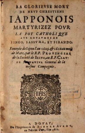
La glorieuse mort de neuf Chrestiens Japponois ...
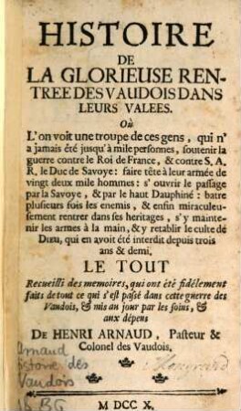
Histoire de la glorieuse rentrée des Vaudois
Lettres de la glorieuse mere Sainte Thérèse
Der glorieuse Aviatiker
La devotion à la glorieuse S. Ursule ...
La glorieuse mort d'André catechiste de la Cochinchine

La „glorieuse retraite“ de Mussolini en Albanie ; 46
Méthode admirabile pour aymer ... la glorieuse Vierge Marie
Sur la voie glorieuse
A la glorieuse mémoire ...
Epoque Glorieuse.
La "glorieuse retraite" de Mussolini en Albanie
La glorieuse mort de neuf Chrestiens Japponois ...
Histoire de la glorieuse rentrée des Vaudois
Lettres de la glorieuse mere Sainte Thérèse
Der glorieuse Aviatiker
La devotion à la glorieuse S. Ursule ...
La glorieuse mort d'André catechiste de la Cochinchine
La „glorieuse retraite“ de Mussolini en Albanie ; 46