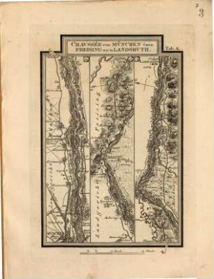
Topographischer Atlas vom Königreiche Baiern diesseits des Rhein, [73]. Rottthalmuenster
- Location
-
München, Bayerische Staatsbibliothek -- Mapp. XI,57 du-73
- Dimensions
-
50 x 79 cm
- Extent
-
1 Karte
- Language
-
Deutsch
- Notes
-
schwarz-weiß
Maßstab in graphischer Form (Eine Chaussée Meile zu 25406 bayer. Fuss) Mitte unten
- Bibliographic citation
-
Topographischer Atlas vom Königreiche Baiern diesseits des Rhein ; 73
- Event
-
Veröffentlichung
- (where)
-
[München]
- (who)
-
[Topographisches Bureau]
- (when)
-
[1837?]
- Contributor
- URN
-
urn:nbn:de:bvb:12-bsb00011209-8
- Last update
-
16.04.2025, 8:44 AM CEST
Data provider
This object is provided by:
Bayerische Staatsbibliothek. If you have any questions about the object, please contact the data provider.
Bayerische Staatsbibliothek. If you have any questions about the object, please contact the data provider.
Associated
- Lau, Franz
- Riedl, Adrian von
- Loehle, Johann
- [Topographisches Bureau]
Time of origin
- [1837?]
Other Objects (12)
Fortsetzung des Adrian von Riedlschen Reise-Atlas vom Königreiche Bayern, 1
Fortsetzung des Adrian von Riedlschen Reise-Atlas vom Königreiche Bayern, 2
Fortsetzung des Adrian von Riedlschen Reise-Atlas vom Königreiche Bayern, 2
Fortsetzung des Adrian von Riedlschen Reise-Atlas vom Königreiche Bayern, 1
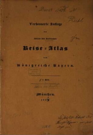
Verbesserte Auflage des Adrian von Riedlschen Reise-Atlas vom Königreiche Bayern, 1
Verbesserte Auflage des Adrian von Riedlschen Reise-Atlas vom Königreiche Bayern, 1
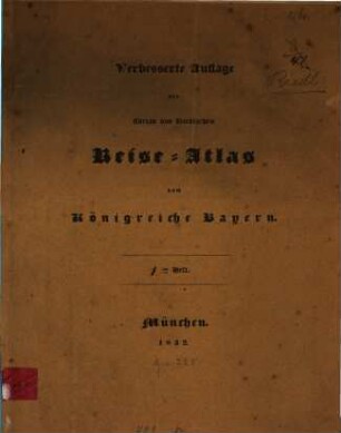
Verbesserte Auflage des Adrian von Riedlschen Reise-Atlas vom Königreiche Bayern, 2

Verbesserte Auflage des Adrian von Riedlschen Reise-Atlas vom Königreiche Bayern, 2
![Topographischer Atlas vom Königreiche Baiern diesseits des Rhein : [in 112 Blättern], [64]. Landau](https://iiif.deutsche-digitale-bibliothek.de/image/2/1c7fefd8-95f2-4b43-ada7-2de773547be0/full/!306,450/0/default.jpg)
Topographischer Atlas vom Königreiche Baiern diesseits des Rhein : [in 112 Blättern], [64]. Landau
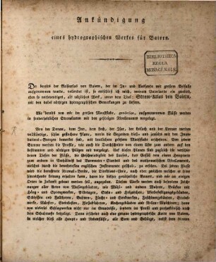
Ankündigung eines Hydrographischen Werkes für Baiern
![Ankündigung eines hydrographischen Werkes für Baiern : [München den 7. Februar 1805]](https://iiif.deutsche-digitale-bibliothek.de/image/2/5c6bec18-6e66-4183-ba03-fe516d984829/full/!306,450/0/default.jpg)
Ankündigung eines hydrographischen Werkes für Baiern : [München den 7. Februar 1805]
![Topographischer Atlas vom Königreiche Baiern diesseits des Rhein, [64]. Landau : 1835](https://iiif.deutsche-digitale-bibliothek.de/image/2/ae77e0a9-d3c3-4eec-950a-2da5a2f9f3f2/full/!306,450/0/default.jpg)
Topographischer Atlas vom Königreiche Baiern diesseits des Rhein, [64]. Landau : 1835
Fortsetzung des Adrian von Riedlschen Reise-Atlas vom Königreiche Bayern, 1
Fortsetzung des Adrian von Riedlschen Reise-Atlas vom Königreiche Bayern, 2
Fortsetzung des Adrian von Riedlschen Reise-Atlas vom Königreiche Bayern, 2
Fortsetzung des Adrian von Riedlschen Reise-Atlas vom Königreiche Bayern, 1
Verbesserte Auflage des Adrian von Riedlschen Reise-Atlas vom Königreiche Bayern, 1
Verbesserte Auflage des Adrian von Riedlschen Reise-Atlas vom Königreiche Bayern, 1
Verbesserte Auflage des Adrian von Riedlschen Reise-Atlas vom Königreiche Bayern, 2
Verbesserte Auflage des Adrian von Riedlschen Reise-Atlas vom Königreiche Bayern, 2
Topographischer Atlas vom Königreiche Baiern diesseits des Rhein : [in 112 Blättern], [64]. Landau
Ankündigung eines Hydrographischen Werkes für Baiern
Ankündigung eines hydrographischen Werkes für Baiern : [München den 7. Februar 1805]