
- Alternative title
-
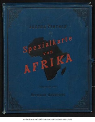
Justus Perthes' Spezial-Karte von Afrika
- Location
-
Forschungsbibliothek Gotha -- SPB 2° 4010.00123e
- Extent
-
2, 12 gef. Bl., 210 x 200 cm, je Teil 52 x 67 cm
- Language
-
Deutsch
- Notes
-
Nullmeridian: Greenwich. - Maßstab in graph. Form (Kilometer) Justus Perthes' Spezial-Karte von Afrika Karte datiert 1892, Erl.-bl. von 1893 Sammlung Perthes
- Published
-
Gotha : Justus Perthes , 1893
- URN
-
urn:nbn:de:urmel-53c5595f-697c-4e8a-adb2-425d7f550ea66-00011430-010
- PURL
- Last update
-
14.04.2025, 12:54 PM CEST
Data provider
This object is provided by:
Forschungsbibliothek Gotha der Universität Erfurt. If you have any questions about the object, please contact the data provider.
Forschungsbibliothek Gotha der Universität Erfurt. If you have any questions about the object, please contact the data provider.
Object type
- Karte
Associated
Time of origin
- Gotha : Justus Perthes , 1893
Other Objects (12)
Spezial-Karte von Afrika : (10 Blatt)

Spezial-Karte von Afrika : (10 Blatt)
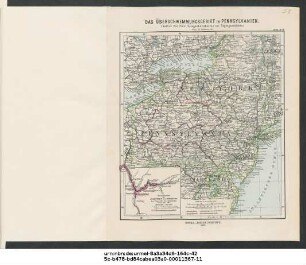
Das Überschwemmungsgebiet in Pennsylvanien : (Justus Perthes' Gelegenheitskarten zur Tagesgeschichte)
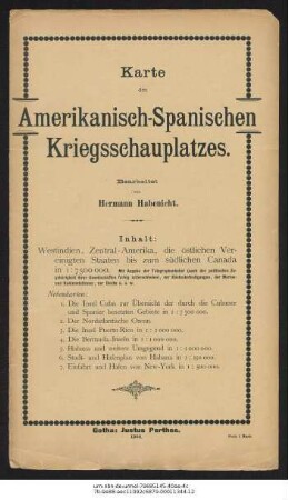
Amerikanisch-Spanischer Kriegsschauplatz
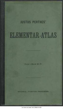
Justus Perthes' Elementar-Atlas : für Schulen des Deutschen Reichs
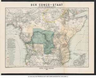
Der Congo-Staat und das Freihandelsgebiet

Tourenkarte der Umgegend von Oberhof

Kriegstagebuch
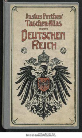
Justus Perthes' Taschen-Atlas vom Deutschen Reich : 24 kolorierte Karten in Kupferstich ; mit Namensverzeichnis
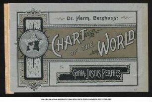
Chart of the World : zur Übersicht der regelmäßigen Dampfschiffahrts-Linien und Haupt-Überland-Routen, der wichtigern Segelschiffs-Wege der Meeresströmungen und Windzonen, der Linien gleicher magnetischer Mißsweisung, der Treibeis-Verhältnisse sowie der Telegraphengürtel um die Erde.
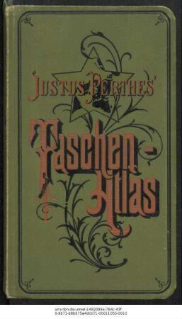
Justus Perthes' Taschen-Atlas : 24 kolorierte Karten in Kupferstich

Gottfried Merzbacher (1843-1926) Nachlass: Brief von Hermann Habenicht an Gottfried Merzbacher - BSB Merzbacheriana II. Habenicht, Hermann
Spezial-Karte von Afrika : (10 Blatt)
Spezial-Karte von Afrika : (10 Blatt)
Das Überschwemmungsgebiet in Pennsylvanien : (Justus Perthes' Gelegenheitskarten zur Tagesgeschichte)
Amerikanisch-Spanischer Kriegsschauplatz
Justus Perthes' Elementar-Atlas : für Schulen des Deutschen Reichs
Der Congo-Staat und das Freihandelsgebiet
Tourenkarte der Umgegend von Oberhof
Kriegstagebuch
Justus Perthes' Taschen-Atlas vom Deutschen Reich : 24 kolorierte Karten in Kupferstich ; mit Namensverzeichnis
Chart of the World : zur Übersicht der regelmäßigen Dampfschiffahrts-Linien und Haupt-Überland-Routen, der wichtigern Segelschiffs-Wege der Meeresströmungen und Windzonen, der Linien gleicher magnetischer Mißsweisung, der Treibeis-Verhältnisse sowie der Telegraphengürtel um die Erde.
Justus Perthes' Taschen-Atlas : 24 kolorierte Karten in Kupferstich