- Alternative title
-
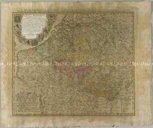
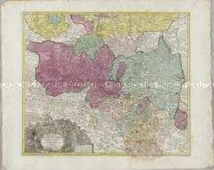
MARCHIONATÛS / MORAVIAE / CIRCULUS / HRADISTIENSIS
- Location
-
Deutsches Historisches Museum, Berlin
- Inventory number
-
Do 2006/1109
- Measurements
-
Höhe x Breite: 51 x 63 cm (Blatt)
Höhe x Breite: 46,5 x 56 cm (Karte)
Höhe x Breite: 49 x 58,5 cm (Platte)
- Material/Technique
-
Papier : Leinwand, Kupferstich, koloriert
- Classification
-
Kartografie (Gattung)
- Subject (what)
-
Mähren
Böhmen
Tschechische Republik
- Event
-
Herstellung
- (who)
-
Kartograf: Johann Christoph Müller
Verleger, Kartograf, Geograph, Kupferstecher: Johann Baptist Homann
- (where)
-
Nürnberg, Deutschland
- (when)
-
um 1710
- Rights
-
Deutsches Historisches Museum
- Last update
-
24.03.2023, 9:30 AM CET
Data provider
This object is provided by:
Stiftung Deutsches Historisches Museum. If you have any questions about the object, please contact the data provider.
Stiftung Deutsches Historisches Museum. If you have any questions about the object, please contact the data provider.
Object type
- Kreiskarte
Associated
- Kartograf: Johann Christoph Müller
- Verleger, Kartograf, Geograph, Kupferstecher: Johann Baptist Homann
Time of origin
- um 1710
Other Objects (12)
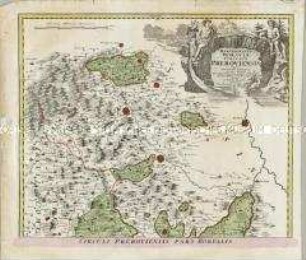
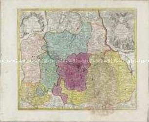
Marchionatus Moraviae Circulus Preroviensis
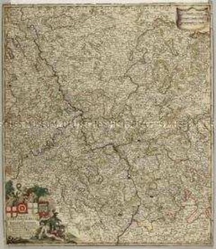
Circulus Burgundicus
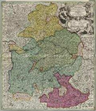
Circulus Bavaricus
Bavariae Circulus
Marchionatus Lusatiae Superioris
Marchionatus Lusatiae Inferioris
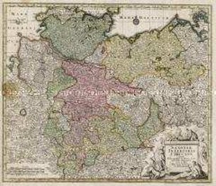
Saxoniae Inferioris Circulus
Bavariae Circulus et Electorat.
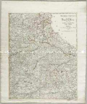
Bavariae Circulus der ganze Bayrische Kreis
Circulus Electorum Rheni sive Rhenanus Inferior
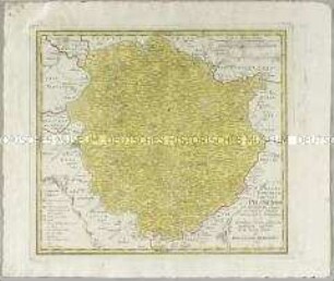
Atlas Regni Bohemiae: Regni Bohemiae Circulus Pilsnensis
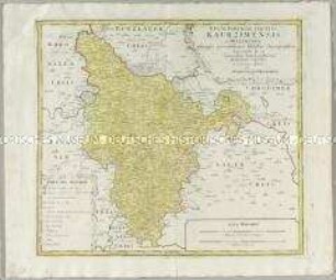
Atlas Regni Bohemiae: Regni Bohemiae Circulus Kaurzimensis
Marchionatus Moraviae Circulus Preroviensis
Circulus Burgundicus
Circulus Bavaricus
Bavariae Circulus
Marchionatus Lusatiae Superioris
Marchionatus Lusatiae Inferioris
Saxoniae Inferioris Circulus
Bavariae Circulus et Electorat.
Bavariae Circulus der ganze Bayrische Kreis
Circulus Electorum Rheni sive Rhenanus Inferior
Atlas Regni Bohemiae: Regni Bohemiae Circulus Pilsnensis