- Alternativer Titel
-
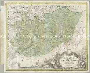
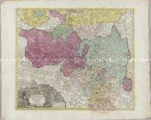
MARCHIONATUS / MORAVIAE / CIRCULUS / PREROVIENSIS
- Standort
-
Deutsches Historisches Museum, Berlin
- Inventarnummer
-
Do 2006/1110
- Maße
-
Höhe x Breite: 56 x 84 cm (Blatt)
Höhe x Breite: 46 x 55,5 cm (Karte)
Höhe x Breite: 50 x 59,5 cm (Platte)
- Material/Technik
-
Papier, Kupferstich, koloriert
- Klassifikation
-
Kartografie (Gattung)
- Bezug (was)
-
Mähren
Böhmen
Tschechische Republik
- Ereignis
-
Herstellung
- (wer)
-
Kartograf: Johann Christoph Müller
Verleger, Kartograf, Geograph, Kupferstecher: Johann Baptist Homann
- (wo)
-
Nürnberg, Deutschland
- (wann)
-
um 1710
- Rechteinformation
-
Deutsches Historisches Museum
- Letzte Aktualisierung
- 24.03.2023, 09:30 MEZ
Datenpartner
Dieses Objekt wird bereitgestellt von:
Stiftung Deutsches Historisches Museum. Bei Fragen zum Objekt wenden Sie sich bitte an den Datenpartner.
Stiftung Deutsches Historisches Museum. Bei Fragen zum Objekt wenden Sie sich bitte an den Datenpartner.
Objekttyp
- Kreiskarte
Beteiligte
- Kartograf: Johann Christoph Müller
- Verleger, Kartograf, Geograph, Kupferstecher: Johann Baptist Homann
Entstanden
- um 1710
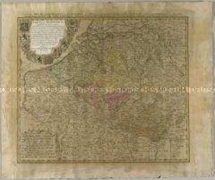
Ähnliche Objekte (12)
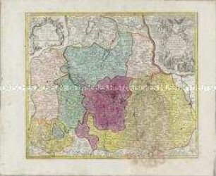
Marchionatus Moraviae Circulus Hradistiensis
Circulus Burgundicus
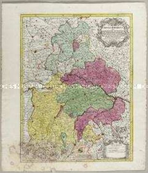
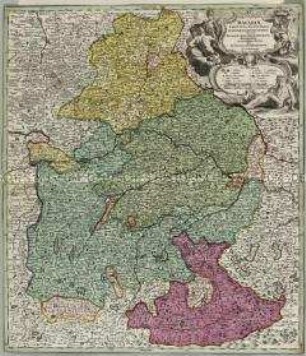
Circulus Bavaricus
Bavariae Circulus
Marchionatus Lusatiae Superioris
Marchionatus Lusatiae Inferioris
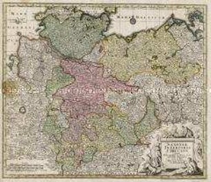
Saxoniae Inferioris Circulus
Bavariae Circulus et Electorat.
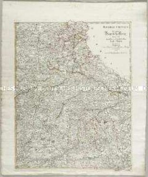
Bavariae Circulus der ganze Bayrische Kreis
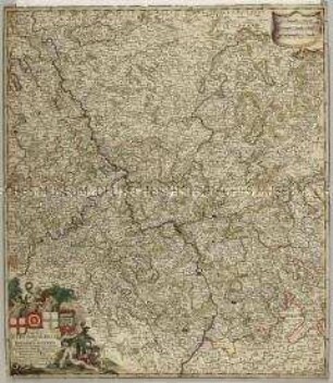
Circulus Electorum Rheni sive Rhenanus Inferior
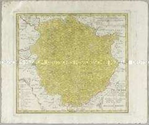
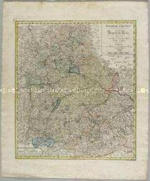
Atlas Regni Bohemiae: Regni Bohemiae Circulus Pilsnensis
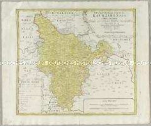
Atlas Regni Bohemiae: Regni Bohemiae Circulus Kaurzimensis
Marchionatus Moraviae Circulus Hradistiensis
Circulus Burgundicus
Circulus Bavaricus
Bavariae Circulus
Marchionatus Lusatiae Superioris
Marchionatus Lusatiae Inferioris
Saxoniae Inferioris Circulus
Bavariae Circulus et Electorat.
Bavariae Circulus der ganze Bayrische Kreis
Circulus Electorum Rheni sive Rhenanus Inferior
Atlas Regni Bohemiae: Regni Bohemiae Circulus Pilsnensis