Altkarte
Hemisphere Oriental : Dressée 1720 pour l'usage particulier du Roy sur les Observations Astronomiques et Geographiques raportées la même année dans l'Histoire et dans les memoires de l'Academie Rle des Sciences
- Location
-
München, Bayerische Staatsbibliothek -- 2 Mapp. 154 u-1#Taf.6a
- Dimensions
-
Diam. 48 cm, Bildgr. 50 x 50 cm
- Extent
-
1 Kt.
- Edition
-
[Reprod. v. Hubert Köhler, München nach d. Originalausg. Paris, Ph. Buache 1745]
- Language
-
Französisch
- Notes
-
Originalvorlage Kupferstich
- Bibliographic citation
-
Die Reformation der Kartographie um 1700 / von Christian Sandler ; Karten-Mappe, 1905, Tafel VI Ost
- Keyword
-
Alte Welt
- Event
-
Veröffentlichung
- (where)
-
München u.a.
- (who)
-
Oldenbourg
- (when)
-
1905
- Contributor
- URN
-
urn:nbn:de:bvb:12-bsb00032548-9
- Last update
-
16.04.2025, 8:42 AM CEST
Data provider
This object is provided by:
Bayerische Staatsbibliothek. If you have any questions about the object, please contact the data provider.
Bayerische Staatsbibliothek. If you have any questions about the object, please contact the data provider.
Object type
- Altkarte
Associated
- L'Isle, Guillaume de
- Delahaye, Guillaume-Nicolas
- Köhler, Hubert
- Buache, Philippe
- Oldenbourg
Time of origin
- 1905
Other Objects (12)

Hemisphere Occidental : Dressée 1720 pour lusage particulier du Roy sur les Observations Astronomiques et Geographiques raportées la même année dans l'Histoire et dans les memoires de l'Academie Rle des Sciences

Vertrag die Publikation "Geographie des plantes dans les deux hemisphere..." betreffend

Dans les coulisses
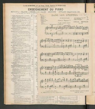
Dans Les Steppes
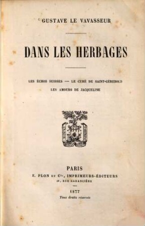
Dans les herbages
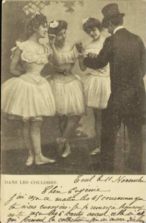
Dans les Coulisses.

Les réfractaires dans les bunkers
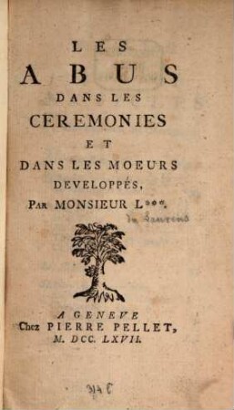
Les abus dans les ceremonies
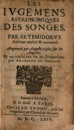
Les jugemens astronomiques de songes ...

La voie lactée dans l'hémisphère boréal

Observations faites dans les stations astronomiques Suisses : I. Righi-Kulm. II. Weissenstein. III. Observatoire de Berne
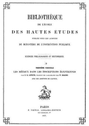
Les métaux dans les inscriptions Égyptiennes
Hemisphere Occidental : Dressée 1720 pour lusage particulier du Roy sur les Observations Astronomiques et Geographiques raportées la même année dans l'Histoire et dans les memoires de l'Academie Rle des Sciences
Vertrag die Publikation "Geographie des plantes dans les deux hemisphere..." betreffend
Dans les coulisses
Dans Les Steppes
Dans les herbages
Dans les Coulisses.
Les réfractaires dans les bunkers
Les abus dans les ceremonies
Les jugemens astronomiques de songes ...
La voie lactée dans l'hémisphère boréal
Observations faites dans les stations astronomiques Suisses : I. Righi-Kulm. II. Weissenstein. III. Observatoire de Berne