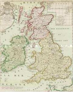
- Alternative title
-
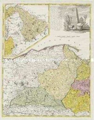
Charte / von / England / und
- Location
-
Deutsches Historisches Museum, Berlin
- Inventory number
-
Do 2006/111
- Measurements
-
Höhe x Breite: 131 x 111 cm (Blatt)
Höhe x Breite: 122 x 105 cm (Karte)
Höhe x Breite: 6 x 14,2 cm (Nebenkarte)
- Material/Technique
-
Druckfarbe, Papier, Leinwand, Kupferstich, grenzkoloriert
- Classification
-
Kartografie (Gattung)
- Subject (what)
-
England
Wales
- Event
-
Herstellung
- (who)
-
Geograph: Thomas Kitchin
Verleger: Johannes Walch
- (where)
-
Augsburg, Deutschland
- (when)
-
1803
- Rights
-
Deutsches Historisches Museum
- Last update
-
24.03.2023, 9:30 AM CET
Data provider
This object is provided by:
Stiftung Deutsches Historisches Museum. If you have any questions about the object, please contact the data provider.
Stiftung Deutsches Historisches Museum. If you have any questions about the object, please contact the data provider.
Object type
- Regionalkarte
Associated
- Geograph: Thomas Kitchin
- Verleger: Johannes Walch
Time of origin
- 1803
Other Objects (12)
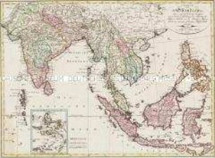
Charte von Ostindien dies= und jenseits des Ganges. Mit einer Nebenkarte: Die Moluckischen Inseln
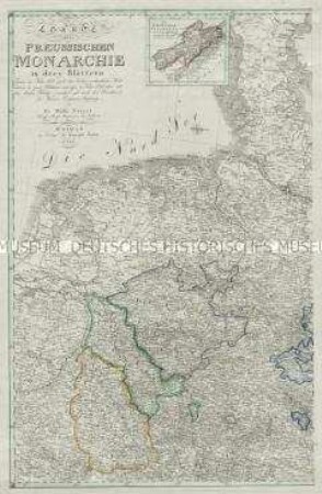
Charte der Preussischen Monarchie in drey Blättern. Mit einer Nebenkarte: Das Fürstenthum Neuchatel
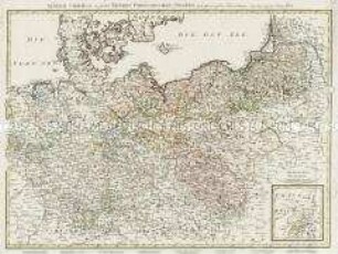
Les Isles Britanniques. Mit einer Nebenkarte: Orkney und Shetland Inseln
General Charte über die sämtlich Koeniglich Preussischen Staaten. Mit einer Nebenkarte: Das Fürstenthum Neufchatel
Der Rhein die Maass und Mosel. Mit einer Nebenkarte: Charte über den Ursprung des Rheins

Tabula Geographica Totam Borussiam ut et Districtum Notecensem. Mit einer Nebenkarte: Charte welche den Netz District vorstellet
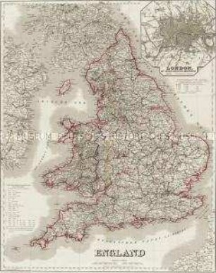
England. Mit einer Nebenkarte: London
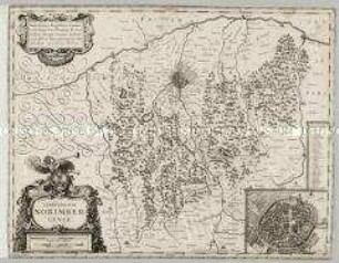
Territorium Norimbergense. Mit einer Nebenkarte: Nurnberg
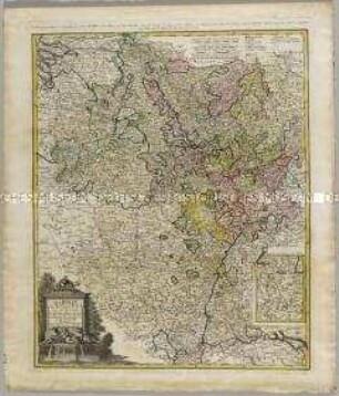
Tabula Ducatus Britanniae. Mit einer Nebenkarte: BREST
Borussiae Occidentalis Tabula. Mit einer Nebenkarte: Ermland
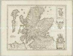
Scotia Regnum. Mit einer Nebenkarte: Orcades Insulae.
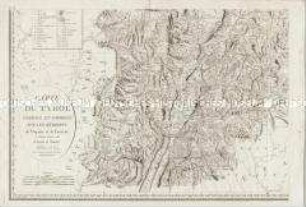
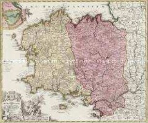
Carte du Tyrol. Mit einer Nebenkarte: Carte Générale
Charte von Ostindien dies= und jenseits des Ganges. Mit einer Nebenkarte: Die Moluckischen Inseln
Charte der Preussischen Monarchie in drey Blättern. Mit einer Nebenkarte: Das Fürstenthum Neuchatel
Les Isles Britanniques. Mit einer Nebenkarte: Orkney und Shetland Inseln
General Charte über die sämtlich Koeniglich Preussischen Staaten. Mit einer Nebenkarte: Das Fürstenthum Neufchatel
Der Rhein die Maass und Mosel. Mit einer Nebenkarte: Charte über den Ursprung des Rheins
Tabula Geographica Totam Borussiam ut et Districtum Notecensem. Mit einer Nebenkarte: Charte welche den Netz District vorstellet
England. Mit einer Nebenkarte: London
Territorium Norimbergense. Mit einer Nebenkarte: Nurnberg
Tabula Ducatus Britanniae. Mit einer Nebenkarte: BREST
Borussiae Occidentalis Tabula. Mit einer Nebenkarte: Ermland
Scotia Regnum. Mit einer Nebenkarte: Orcades Insulae.