- Location
-
Leibniz-Institut für Länderkunde e.V., Leipzig
- Other number(s)
-
HK 0310 (Signatur)
- Material/Technique
-
unkolor.
- Inscription/Labeling
-
Maßstab in graph. Form (Milles Nautiques). - Titel im Kt.-Bild. - Mit 1 Nebenkt.: Isles Découvertes Par M. Marion du Fresne en 1772, appellées par M. Cook en 1776, Isles Du Prince Edouard. - Mit Reiserouten. - Seitenzählung rechts unten: 3. - Nummerierung rechts oben: Pl. 2. - Kt. gehört zur franz. Ausgabe von: A voyage to the Pacific ocean. Undertaken, by the command of His Majesty, for making discoveries in the Northern hemisphere, to determine the position and extent of the west side of North America; its distance from Asia; and the practicability of a northern passage to Europe. Performed under the direction of Captains Cook, Clerke, and Gore, in His Majesty's ships the Resolution and Discovery, in the years 1776, 1777, 1778, 1779, and 1780 (1784). - Relief: plastisch
- Subject (what)
-
Altkarte
Seekarte
Forschungsreise
Antarktis
Kerguelen
Cook, James
Entdeckungen
- Event
-
Veröffentlichung
- (where)
-
[Paris]
- (when)
-
[1785]
- Rights
-
Leibniz-Institut für Länderkunde e.V.
- Last update
-
15.05.2025, 12:43 PM CEST
Data provider
This object is provided by:
Leibniz-Institut für Länderkunde e. V.. If you have any questions about the object, please contact the data provider.
Leibniz-Institut für Länderkunde e. V.. If you have any questions about the object, please contact the data provider.
Object type
- Karte
Time of origin
- [1785]
Other Objects (12)
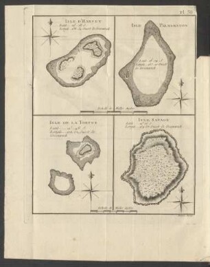
Isle D'Harvry Isle Palmerston Isle De La Tortue Isle Savage
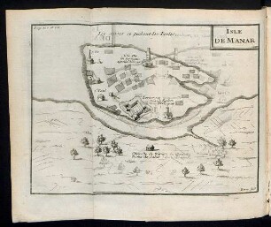
Isle de Manar
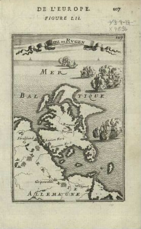
Isle de Rvgen
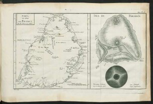
Pl. 13. Carte de l'Isle de France. - Isle de Bourbon

Isle de Madagascar autrement Isle de St. Laurent Par N. Bellin.
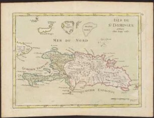
Isle De St. Domingue
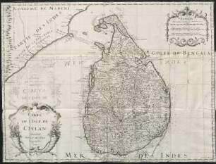
Carte de l'isle de Ceylan

Coupes De L'Isle De Teneriffa
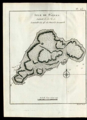
Pl. 25 Isle De Pâques.
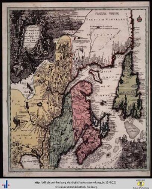
Partie orientale de la Nouvelle France ou de Canada avec d’Isle de Terre-Neuve et de Nouvelle Escosse Acadie et Nouv. Angleterre.
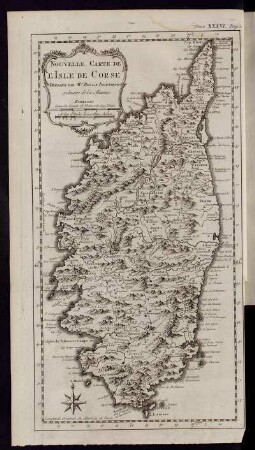
Nouvelle Carte de L´Isle de Corse...
![Nouvelle Carte de L´Isle de Java[...]](https://iiif.deutsche-digitale-bibliothek.de/image/2/f3f55136-7b7d-49e6-bb25-1eb1167ba04f/full/!306,450/0/default.jpg)
Nouvelle Carte de L´Isle de Java[...]
Isle D'Harvry Isle Palmerston Isle De La Tortue Isle Savage
Isle de Manar
Isle de Rvgen
Pl. 13. Carte de l'Isle de France. - Isle de Bourbon
Isle de Madagascar autrement Isle de St. Laurent Par N. Bellin.
Isle De St. Domingue
Carte de l'isle de Ceylan
Coupes De L'Isle De Teneriffa
Pl. 25 Isle De Pâques.
Partie orientale de la Nouvelle France ou de Canada avec d’Isle de Terre-Neuve et de Nouvelle Escosse Acadie et Nouv. Angleterre.
Nouvelle Carte de L´Isle de Corse...