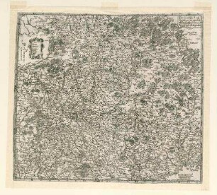
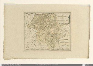
Grafik | Landkarte
Der Fraenckische Creis
Historische Landkarte des Fränkischen Reichskreises: Schmalkalden (N) - Donauwörth (S) - Heidelberg (W) - Regensburg (O)
- Alternative title
-
mit Fleis verfertigt von Johann George Schreibern in Leipzig
- Collection
-
Pictothek
- Identifier
-
36/A 30.167
- Source
-
Universitätsbibliothek Würzburg
- Extent
-
240 mm x 160 mm
- Material/Technique
-
Papier
- Language
-
Deutsch
- Bibliographic citation
-
BV000771544 - Atlas selectus von allen Königreichen und Ländern der Welt ; 20
- Subject
-
Franken
- Subject (where)
-
Fränkischer Reichskreis
- URN
-
urn:nbn:de:bvb:20-36a30167term52949520-4
- Last update
-
06.03.2025, 3:26 PM CET
Data provider
This object is provided by:
Universitätsbibliothek Würzburg. If you have any questions about the object, please contact the data provider.
Universitätsbibliothek Würzburg. If you have any questions about the object, please contact the data provider.
Object type
- Grafik
- Landkarte
Associated
Time of origin
- ca. 1749
Other Objects (12)
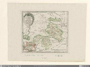
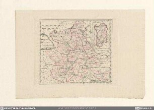
Der fränckische Krayß

Der fraenckische Creis. ca. 1:1.200.000. Johann Georg Schreiber, Leipzig (Verlag)

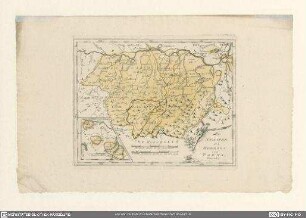
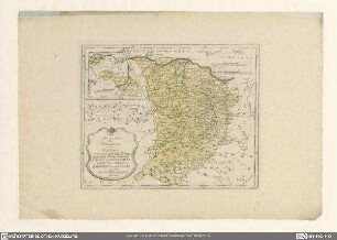
Fränckische

Fränckische
Die Staaten des Fürsten zu Schwarzenberg oder die gefürstete Grafschaft Schwarzenberg, die Herrschaft Seinsheim und die gefürstete Landgrafschaft Klettgau

Die Staaten des Fürsten zu Schwarzenberg
Die Staaten des Herzogs von Parma
Der Staaten des Herzogs von Parma...
Der Staaten des Herzogs von Parma...
Die Staaten des Königs von Sardinien
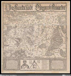
Das Franckenlandt
Das Wilfispurgergou
Der fränckische Krayß
Der fraenckische Creis. ca. 1:1.200.000. Johann Georg Schreiber, Leipzig (Verlag)
Fränckische
Fränckische
Die Staaten des Fürsten zu Schwarzenberg oder die gefürstete Grafschaft Schwarzenberg, die Herrschaft Seinsheim und die gefürstete Landgrafschaft Klettgau
Die Staaten des Fürsten zu Schwarzenberg
Die Staaten des Herzogs von Parma
Der Staaten des Herzogs von Parma...
Der Staaten des Herzogs von Parma...
Die Staaten des Königs von Sardinien
Das Franckenlandt