Karte / Plan
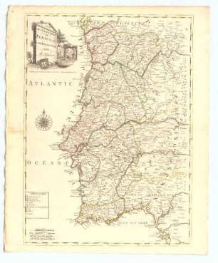
Map of the Roads of Portugal
Ausführlicher Titel: "Map of the Roads of Portugal. 2nd Edition 1812, with Additions and Corrections by Lieut. James Cruttwell, London. Published 1st Januray 1811 by A. Arrowsmith"
- thematische Karte (Straßenkarte) in 2 Blättern mit farbigen Einzeichnung der Städte und Straßen
- Blatt 2: rechts unten Titel und Legende
- Blatt 2: links unten Maßstäbe; Nullmeridian: Paris
Karten:
Blatt 1: Norden
li. o. Miranda; re. o. Castello Branco
li. u. Bayonna; re. u. Leiria
Blatt 1: Süden
li. o. Albuquerque; re. o. Tavira
li. u. Obidos; re. u. Sagres
- Reference number
-
Abt. Hauptstaatsarchiv Stuttgart, N 100 Nr. 383
- Dimensions
-
102 x 128 (52 x 64 ) (Höhe x Breite)
- Further information
-
Ausführung: mehrfarbig
Entstehungsstufe: Ausdruck oder Fertigdruck
Herausgeber: A. Arrowsmith
Herstellungsort: London
Orientierung: O
Originalmaßstab: 60 myriamètres ou lieues nouvelles= 7 cm
Maßstab: ca. 1 : 8.600.000
Blattzahl: 2
- Context
-
Ältere gedruckte Karten >> Spanien, Portugal
- Holding
-
Landesarchiv Baden-Württemberg, Abt. Hauptstaatsarchiv Stuttgart, N 100 Ältere gedruckte Karten
- Indexentry place
-
Portugal [P]
- Creator
-
Autor/Fotograf: James Cruttwell
- Date of creation
-
1811,1812
- Other object pages
- View digital item at providers-website
- Rights
-
Es gelten die Nutzungsbedingungen des Landesarchivs Baden-Württemberg.
- Last update
-
21.11.2025, 3:26 PM CET
Data provider
This object is provided by:
Landesarchiv Baden-Württemberg. If you have any questions about the object, please contact the data provider.
Landesarchiv Baden-Württemberg. If you have any questions about the object, please contact the data provider.
Object type
- Karten und Pläne
Associated
- Autor/Fotograf: James Cruttwell
Time of origin
- 1811,1812
Other Objects (12)
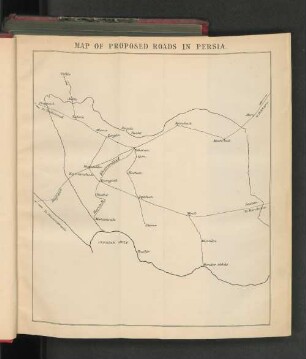
Map of Proposed Roads in Persia.
An Accurate Map of Portugal
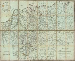
A Map of the Post Roads of Germany and the Adjacent States

A Map of South America
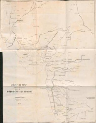
Sketch map shewing the principal roads through the Presidency of Bombay

Germany: Map of the Occupation Areas
Kent (England) little map of inspiration
Map of Mayen (Ortsplan von Mayen) mit Stadteilkarten

The Roads of Empire.
Map of the Grand Trunk Pacifik Railway and Branches
The A B C Airways Guide map of the world

Roads
Map of Proposed Roads in Persia.
An Accurate Map of Portugal
A Map of the Post Roads of Germany and the Adjacent States
A Map of South America
Sketch map shewing the principal roads through the Presidency of Bombay
Germany: Map of the Occupation Areas
Kent (England) little map of inspiration
Map of Mayen (Ortsplan von Mayen) mit Stadteilkarten
The Roads of Empire.
Map of the Grand Trunk Pacifik Railway and Branches
The A B C Airways Guide map of the world