Karte
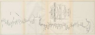
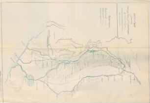
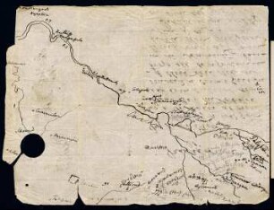
Sketch map giving the whole course of the Lower & Upper Codavery, Pranhita, and Wurdah, ...

- Language
-
Englisch
- Bibliographic citation
-
Haig, Thackeray Felix. - Report on the navigability of the river Godavery, and some of its affluents; by Lieutenant T. F. Haig, of engineers civil engineer, Upper Godavery, dated 3d May 1856; with remarks thereon by chief engineer D. P. W. and a memorandum by the superintending engineer, northern circle, of P. W. late civil engineer, Godavery Division; and acting mint master at Madras
- Published
-
1856
- Last update
-
22.04.2025, 2:16 PM CEST
Data provider
This object is provided by:
Staatsbibliothek zu Berlin - Preußischer Kulturbesitz. If you have any questions about the object, please contact the data provider.
Staatsbibliothek zu Berlin - Preußischer Kulturbesitz. If you have any questions about the object, please contact the data provider.
Object type
- Karte
Time of origin
- 1856
Other Objects (12)
Sketch map giving the whole course of the Lower & Upper Codavery, Pranhita, and Wurdah, ...
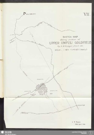
VII. Sketch Map shewing position of Upper Umfuli Goldfield

Qualitative sketch aspects for sketch map alignment
Sketch Map of Corea
Sketch map of Sarawak
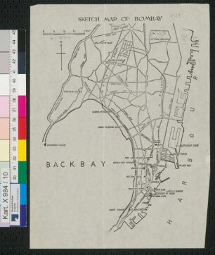
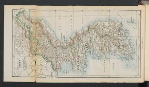
Sketch map of Bombay

Sketch map of Manchuria
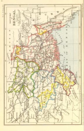
Sketch map of Bengal
Sketch map of Scinde
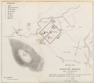
Sketch map of Tengyueh (Momein)
6v, Sketch of a map
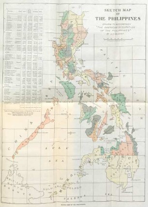
Sketch map of the Philippines
Sketch map giving the whole course of the Lower & Upper Codavery, Pranhita, and Wurdah, ...
VII. Sketch Map shewing position of Upper Umfuli Goldfield
Qualitative sketch aspects for sketch map alignment
Sketch Map of Corea
Sketch map of Sarawak
Sketch map of Bombay
Sketch map of Manchuria
Sketch map of Bengal
Sketch map of Scinde
Sketch map of Tengyueh (Momein)
6v, Sketch of a map