Illustration
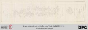
Map of portion of Philippe Islands and other eastern islands; from Portuguese MS. map of 1635, by Pedro Berthelot

- Sprache
-
Englisch
- Erschienen in
-
The Philippine Islands 1493-1803 : explorations by early navigators, descriptions of the islands and their peoples, their history and records of the Catholic missions, as related in contemporaneous books and manuscripts, showing the political, economic, commercial and religious conditions of those islands, from their earliest relations with European nations to the beginning of the nineteenth century ; translated from the originals ; Vol. 25
- Beteiligte Personen und Organisationen
-
Berthelot, Pedro
- Erschienen
-
1905
- Letzte Aktualisierung
-
22.04.2025, 14:15 MESZ
Datenpartner
Dieses Objekt wird bereitgestellt von:
Staatsbibliothek zu Berlin - Preußischer Kulturbesitz. Bei Fragen zum Objekt wenden Sie sich bitte an den Datenpartner.
Staatsbibliothek zu Berlin - Preußischer Kulturbesitz. Bei Fragen zum Objekt wenden Sie sich bitte an den Datenpartner.
Objekttyp
- Illustration
Beteiligte
- Berthelot, Pedro
Entstanden
- 1905
Ähnliche Objekte (12)

Map of portion Philippine Islands, drawn by William Hacke, ca. 1680 ...
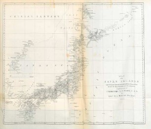
Map of the Japan Islands
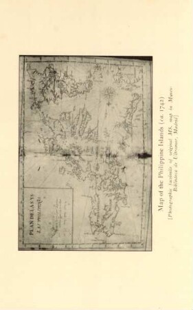
Map of the Philippine Islands
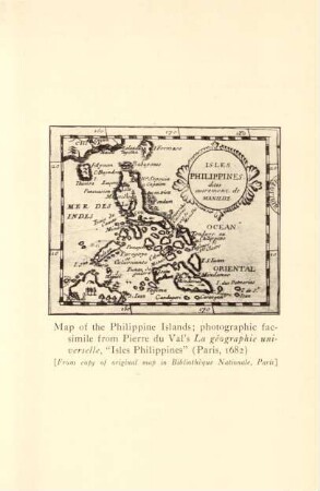
Map of the Philippine Islands ...
Map Of The Bahama Islands
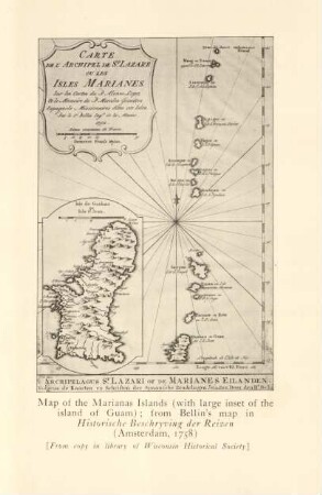
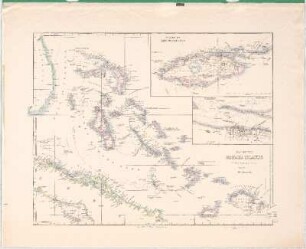
Map of the Marianas Islands ...
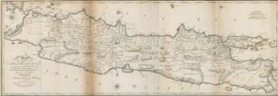
Map of the Island of Java
Map of the Island of Bombay
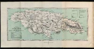
Map of the Island of Jamaica
Máldive Islands (Map)
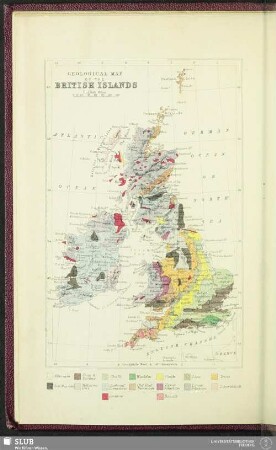
Geological Map Of The British Islands
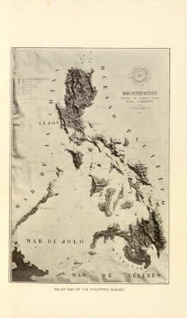
Relief map of the Philippine Islands
Map of portion Philippine Islands, drawn by William Hacke, ca. 1680 ...
Map of the Japan Islands
Map of the Philippine Islands
Map of the Philippine Islands ...
Map Of The Bahama Islands
Map of the Marianas Islands ...
Map of the Island of Java
Map of the Island of Bombay
Map of the Island of Jamaica
Máldive Islands (Map)
Geological Map Of The British Islands