
- Standort
-
Forschungsbibliothek Gotha -- SPK 40.26.01 B (04)
- Umfang
-
26 ungezählte Blätter
- Sprache
-
Französisch
- Anmerkungen
-
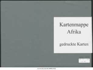
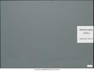
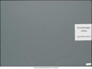
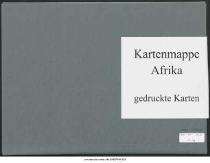
Titel fingiert nach der Systematik der Kartensammlung Konvolutmappe der Kartensammlung Perthes. - enthält Karten aus der Produktion anderer Verlage Mappe enthält das auf 22 Blatt veröffentlichte Kartenwerk „Atlas des Côtes du Congo Français en vingt-deux feuilles (1:80.000)“ (Paris: Sous-Sécretariat d'État des Colonies; 1893); Erkundungen durchgeführt von Henri Pobéguin. Außerdem: 2 Blätter der „Itinéraires au Nord de L'Ogôoué“ von Paul Crampel Sammlung Perthes
- Beteiligte Personen und Organisationen
- Erschienen
-
Gotha : Justus Perthes , 1890
- URN
-
urn:nbn:de:urmel-ufb-180804-8-013
- PURL
- Letzte Aktualisierung
-
14.04.2025, 12:54 MESZ
Datenpartner
Dieses Objekt wird bereitgestellt von:
Forschungsbibliothek Gotha der Universität Erfurt. Bei Fragen zum Objekt wenden Sie sich bitte an den Datenpartner.
Forschungsbibliothek Gotha der Universität Erfurt. Bei Fragen zum Objekt wenden Sie sich bitte an den Datenpartner.
Objekttyp
- Monografie
Beteiligte
Entstanden
- Gotha : Justus Perthes , 1890
Ähnliche Objekte (12)
Belgisch-Kongo : 1890-1893 : Kartensammlung

Belgisch-Kongo : 1890-1896 : Kartensammlung
Belgisch-Kongo : 1889-1890 : Kartensammlung
Französisch-Kongo : 1866-1890 : Kartensammlung
Französisch-Kongo : Seekarten : Kartensammlung
Französisch-Kongo : Seekarten : Kartensammlung
Französisch-Kongo : Seekarten : Kartensammlung
Belgisch-Kongo : 1908 : Kartensammlung
Französisch-Kongo : Seekarten : Kartensammlung
Belgisch-Kongo : 1888 : Kartensammlung
Französisch-Kongo : 1885-1895 : Kartensammlung
Belgisch-Kongo : 1916-1917 : Kartensammlung
Belgisch-Kongo : 1890-1893 : Kartensammlung
Belgisch-Kongo : 1890-1896 : Kartensammlung
Belgisch-Kongo : 1889-1890 : Kartensammlung
Französisch-Kongo : 1866-1890 : Kartensammlung
Französisch-Kongo : Seekarten : Kartensammlung
Französisch-Kongo : Seekarten : Kartensammlung
Französisch-Kongo : Seekarten : Kartensammlung
Belgisch-Kongo : 1908 : Kartensammlung
Französisch-Kongo : Seekarten : Kartensammlung
Belgisch-Kongo : 1888 : Kartensammlung
Französisch-Kongo : 1885-1895 : Kartensammlung