Karte / Plan
Plan der Stadt Wiesdorf. Angefertigt im März 1926/Pulchra-Druck C.G.Blankkertz, Düsseldorf
- Reference number
-
RW Karten, 5363
- Dimensions
-
Höhe: 131 cm, Breite: 103, Maßstab: 1:5.000
- Notes
-
Stark beschädigt
- Context
-
RW Karten >> 6. Siedlungen >> 6.1. Stadtpläne >> 6.1.65. Wiesdorf
- Holding
-
RW Karten
- Date of creation
-
1926
- Other object pages
- Provenance
-
Diverse Registraturbildner
- Delivered via
- Last update
-
17.09.2025, 3:03 PM CEST
Data provider
This object is provided by:
Landesarchiv Nordrhein-Westfalen. Abteilung Rheinland. If you have any questions about the object, please contact the data provider.
Landesarchiv Nordrhein-Westfalen. Abteilung Rheinland. If you have any questions about the object, please contact the data provider.
Object type
- Karten / Pläne
Time of origin
- 1926
Other Objects (12)

Plan der Stadt Essen. Angefertigt im Stadtvermessungsamt Essen April 1927/Pulchra- Druck von C.G.Blanckertz, Düsseldorf 56
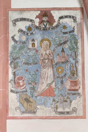
Tota pulchra
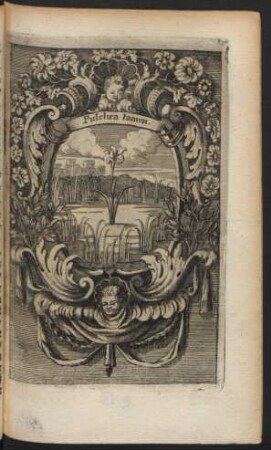
Pulchra tamen
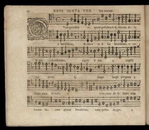
Parabola pulchra sequitur.
Quam pulchra es
Quam pulchra es
Quam pulchra es
Quam pulchra es

Quam pulchra es

Geonoma pulchra Engel
Quam pulchra es
Multi pulchra faciunt
Plan der Stadt Essen. Angefertigt im Stadtvermessungsamt Essen April 1927/Pulchra- Druck von C.G.Blanckertz, Düsseldorf 56
Tota pulchra
Pulchra tamen
Parabola pulchra sequitur.
Quam pulchra es
Quam pulchra es
Quam pulchra es
Quam pulchra es
Quam pulchra es
Geonoma pulchra Engel
Quam pulchra es