Archivale
Spree-Oder-Wasserstraße Km 41,1 - 43,3. Wendische Spree. Lageplan Gemarkung Schmöckwitz
- Archivaliensignatur
-
57 WSD K 1626 C
- Kontext
-
Rep. 57 Wasserstraßendirektion Potsdam - Karten >> Wasserstraßenamt Köpenick >> Vermessungs- und Kartenwesen >> Spree-Oder-Wasserstraße >> Wendische Spree (Grünauer Spree)
- Bestand
-
57 WSD K (15603) Rep. 57 Wasserstraßendirektion Potsdam - Karten
- Laufzeit
-
1900
- Weitere Objektseiten
- Letzte Aktualisierung
-
07.04.2025, 11:29 MESZ
Datenpartner
Dieses Objekt wird bereitgestellt von:
Brandenburgisches Landeshauptarchiv. Bei Fragen zum Objekt wenden Sie sich bitte an den Datenpartner.
Brandenburgisches Landeshauptarchiv. Bei Fragen zum Objekt wenden Sie sich bitte an den Datenpartner.
Objekttyp
- Archivale
Entstanden
- 1900
Ähnliche Objekte (12)

Spree-oder-Wasserstraße Km 43,4 - 45,3. Wendische Spree. Gemarkung Schmöckwitz
Spree-oder-Wasserstraße Km 43,4 - 45,3. Wendische Spree. Gemarkung Schmöckwitz
Wendische Spree. Lageplan Ortsteil Schmöckwitz
Spree-Oder-Wasserstraße Km 41,1 - 43,4. Wendische Spree. Lageplan Gemarkung Schmöckwitz
Spree-Oder-Wasserstraße Km 42,5 - 44,1. Wendische Spree. Lageplan Gemarkung Schmöckwitz
Spree-Oder-Wasserstraße Km 40,9 - 42,4. Wendische Spree. Lageplan Gemarkungen Schmöckwitz und Grünau
Spree-Oder-Wasserstraße in Km 38,8 - 40,9. Wendische Spree
Spree-Oder-Wasserstraße Km 38,8 - 40,9. Wendische Spree. Lageplan
Spree-Oder-Wasserstraße Km 38,9 - 40,1. Wendische Spree. Lageplan Gemarkung Grünau
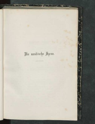
Die wendische Spree
Wendische Spree. Gutenbergstraße
Spree-Oder-Wasserstraße Km 36,7 - 38,9. Wendische Spree. Gemarkungen Grünau und Köpenick
Spree-oder-Wasserstraße Km 43,4 - 45,3. Wendische Spree. Gemarkung Schmöckwitz
Spree-oder-Wasserstraße Km 43,4 - 45,3. Wendische Spree. Gemarkung Schmöckwitz
Wendische Spree. Lageplan Ortsteil Schmöckwitz
Spree-Oder-Wasserstraße Km 41,1 - 43,4. Wendische Spree. Lageplan Gemarkung Schmöckwitz
Spree-Oder-Wasserstraße Km 42,5 - 44,1. Wendische Spree. Lageplan Gemarkung Schmöckwitz
Spree-Oder-Wasserstraße Km 40,9 - 42,4. Wendische Spree. Lageplan Gemarkungen Schmöckwitz und Grünau
Spree-Oder-Wasserstraße in Km 38,8 - 40,9. Wendische Spree
Spree-Oder-Wasserstraße Km 38,8 - 40,9. Wendische Spree. Lageplan
Spree-Oder-Wasserstraße Km 38,9 - 40,1. Wendische Spree. Lageplan Gemarkung Grünau
Die wendische Spree
Wendische Spree. Gutenbergstraße