- Alternative title
-
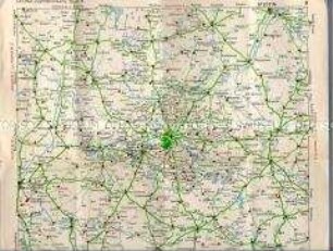
Mittelbachs Neueste Hand- und Verkehrskarte der Balkanländer nebst Rumänien und Teilen von Österreich-Ungarn
- Location
-
Deutsches Historisches Museum, Berlin
- Inventory number
-
Do2 96/1766
- Measurements
-
Höhe x Breite: 111,5 x 81,5 cm
- Material/Technique
-
Papier, gedruckt
- Classification
-
Kartografie (Gattung)
- Subject (what)
-
Geographie
- Event
-
Herstellung
- (who)
-
Druckerei: Graphische Kunstanstalt "Globus"
Verlag: Mittelbach's Verlag
- (where)
-
Leipzig, Deutschland [historisch: Deutsches Reich]
- (when)
-
um 1914
- Rights
-
Deutsches Historisches Museum
- Last update
-
24.03.2023, 9:31 AM CET
Data provider
This object is provided by:
Stiftung Deutsches Historisches Museum. If you have any questions about the object, please contact the data provider.
Stiftung Deutsches Historisches Museum. If you have any questions about the object, please contact the data provider.
Object type
- Verkehrskarte
Associated
- Druckerei: Graphische Kunstanstalt "Globus"
- Verlag: Mittelbach's Verlag
Time of origin
- um 1914
Other Objects (12)
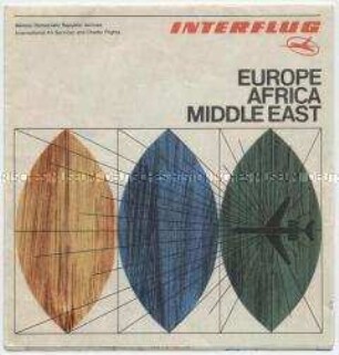
Karte der Fluglinien der DDR-Fluggesellschaft "Interflug"

Henze's Neue Verkehrs-Karte des Deutschen Reiches
Karte von Deutschland mit den Eisenbahn-Verkehrsnetz
Verkehrs-Karte des Deutschen Reiches mit Entfernungstabelle
Karte mit den Linien der Berliner Verkehrs-A.G.
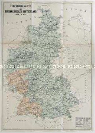
Karte der Bundesrepublik Deutschland mit dem Eisenbahnnetz 1949
Karte mit den Linien der DDR-Fluggesellschaft "Interflug"
Karte mit den Linien der DDR-Fluggesellschaft "Interflug"
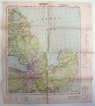
Karte von Leningrad und Umgebung mit Verkehrswegen
Karte mit dem Streckennetz des Nahverkehrs in Berlin (DDR)
Karte von Berlin und Umgebung mit den Tankstellen von LEUNA
Karte mit den Entfernungen per Luftlinie und den Flugzeiten von Hamburg aus
Karte der Fluglinien der DDR-Fluggesellschaft "Interflug"
Henze's Neue Verkehrs-Karte des Deutschen Reiches
Karte von Deutschland mit den Eisenbahn-Verkehrsnetz
Verkehrs-Karte des Deutschen Reiches mit Entfernungstabelle
Karte mit den Linien der Berliner Verkehrs-A.G.
Karte der Bundesrepublik Deutschland mit dem Eisenbahnnetz 1949
Karte mit den Linien der DDR-Fluggesellschaft "Interflug"
Karte mit den Linien der DDR-Fluggesellschaft "Interflug"
Karte von Leningrad und Umgebung mit Verkehrswegen
Karte mit dem Streckennetz des Nahverkehrs in Berlin (DDR)
Karte von Berlin und Umgebung mit den Tankstellen von LEUNA