Archivale
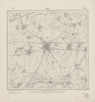
Topographische Karte 4413 Werl, Normalausgabe mit Waldflächen, 13. Auflage 1979
Enthält: mehrfarbig
- Reference number
-
K 01, 3614
- Former reference number
-
Registratursignatur: Landesvermessungsamt Nordrhein-Westfalen
- Extent
-
M 1:25.000
- Further information
-
Format: 46 x 48 cm
- Context
-
Karten und Pläne >> 4.4. Einzelne topographische Karten, Messtischblätter
- Holding
-
K 01 Karten und Pläne
- Date of creation
-
1979
- Other object pages
- Delivered via
- Last update
-
05.11.2025, 3:43 PM CET
Data provider
This object is provided by:
Kreis Soest - Kreisarchiv. If you have any questions about the object, please contact the data provider.
Kreis Soest - Kreisarchiv. If you have any questions about the object, please contact the data provider.
Object type
- Archivale
Time of origin
- 1979
Other Objects (12)

Topographische Karte 4414 Soest, Normalausgabe mit Waldflächen, 7. Auflage 1967
4413 Werl
Blatt 4413 Werl
Topographische Karte 4413 Werl
Blatt 2508 Werl, neu: 4413
4413 (alte Nr.: 2508) Werl
Messtischblatt Nr. 4413. Name: Werl
Topographische Karte Werl, Nr. 4413
Deutsche Grundkarte - Werl (4413/13)
Deutsche Grundkarte - Werl (4413/13)
Deutsche Grundkarte - Werl (4413/13)
Deutsche Grundkarte (Luftbildkarte) - Werl. (4413/13)
Topographische Karte 4414 Soest, Normalausgabe mit Waldflächen, 7. Auflage 1967
4413 Werl
Blatt 4413 Werl
Topographische Karte 4413 Werl
Blatt 2508 Werl, neu: 4413
4413 (alte Nr.: 2508) Werl
Messtischblatt Nr. 4413. Name: Werl
Topographische Karte Werl, Nr. 4413
Deutsche Grundkarte - Werl (4413/13)
Deutsche Grundkarte - Werl (4413/13)
Deutsche Grundkarte - Werl (4413/13)