Karten und Pläne
Objekt 28, Revier Eichgraben - Hospitalwald nördlich des Heideberges
Enthält: Stadtweg.- G-Flügelweg.- Bohrpunkte.
- Reference number
-
Sächsisches Staatsarchiv, 40070 Bergbehörde Karl-Marx-Stadt, Nr. 2-I828 (Zu benutzen im Bergarchiv Freiberg)
- Further information
-
Kartentype: Topographischer Riss
Personen/Institutionen: H. Blum - Topograf
Maßstab: 1:1000
Blattnummer: Bl. 1
Format: ca. 60 x 60
Verweis: Anschlussblätter: O - 2-I829, S - 2-I831
- Context
-
40070 Bergbehörde Karl-Marx-Stadt >> 2. Risse >> 2.2. Bergbau auf Erze und Spate >> 2.2.2. Tätigkeit der SDAG Wismut >> 2.2.2.12. Oberlausitz
- Holding
-
40070 Bergbehörde Karl-Marx-Stadt
- Date of creation
-
1950
- Other object pages
- Provenance
-
SDAG Wismut
- Rights
-
Es gilt die Sächsische Archivbenutzungsverordnung vom 8. September 2022 (SächsGVBl. S. 526).
- Last update
-
21.03.2024, 8:12 AM CET
Data provider
This object is provided by:
Sächsisches Staatsarchiv. If you have any questions about the object, please contact the data provider.
Sächsisches Staatsarchiv. If you have any questions about the object, please contact the data provider.
Object type
- Karten und Pläne
Time of origin
- 1950
Other Objects (12)

Objekt 28, Revier Eichgraben - Hospitalwald nördlich des Heideberges
Objekt 28, Revier Eichgraben - Hospitalwald nördlich des Heideberges
Objekt 28, Revier Eichgraben - Hospitalwald nördlich des Heideberges
Hospitalwald im Mergentheimer Revier
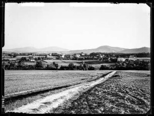
Eichgraben

Eichgraben
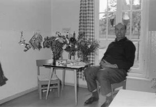
Kindergarten Eichgraben
Kindergarten Eichgraben
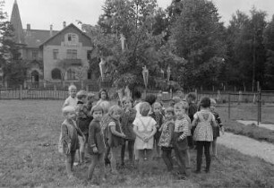
Kindergarten Eichgraben
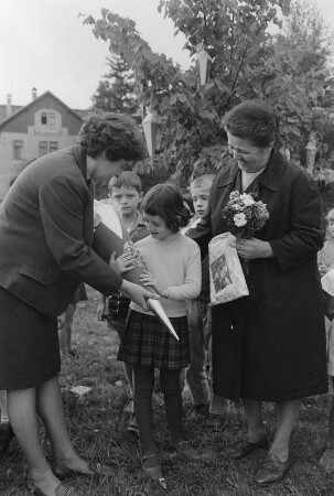
Kindergarten Eichgraben
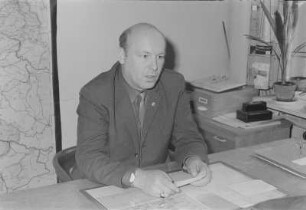
Kindergarten Eichgraben
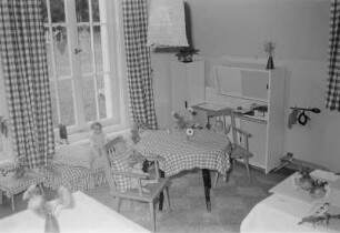
Kindergarten Eichgraben
Objekt 28, Revier Eichgraben - Hospitalwald nördlich des Heideberges
Objekt 28, Revier Eichgraben - Hospitalwald nördlich des Heideberges
Objekt 28, Revier Eichgraben - Hospitalwald nördlich des Heideberges
Hospitalwald im Mergentheimer Revier
Eichgraben
Eichgraben
Kindergarten Eichgraben
Kindergarten Eichgraben
Kindergarten Eichgraben
Kindergarten Eichgraben
Kindergarten Eichgraben
Kindergarten Eichgraben
Objekt 28, Revier Eichgraben - Hospitalwald nördlich des Heideberges
Objekt 28, Revier Eichgraben - Hospitalwald nördlich des Heideberges
Objekt 28, Revier Eichgraben - Hospitalwald nördlich des Heideberges
Hospitalwald im Mergentheimer Revier
Eichgraben
Eichgraben
Kindergarten Eichgraben
Kindergarten Eichgraben
Kindergarten Eichgraben
Kindergarten Eichgraben
Kindergarten Eichgraben