Karte / Plan
Kanalisation Stadt Lobberich: Teilbebauungsplan am Wasserturm. Lageplan
- Reference number
-
2267
- Dimensions
-
1290 x 990
- Further information
-
Standort: 21.15
Ausführung: Einzeichnungen in Durchführungsplan 1960
Maßstab: 1 : 500
- Context
-
Karten und Pläne >> Gebietsentwicklung >> Bebauungspläne >> Lobberich
- Holding
-
S 2a Karten und Pläne Karten und Pläne
- Indexentry place
-
Lobberich
- Date of creation
-
[nach 1960]
- Other object pages
- Provenance
-
Bestand 9
- Delivered via
- Last update
-
17.09.2025, 3:24 PM CEST
Data provider
This object is provided by:
Kreisarchiv Viersen. If you have any questions about the object, please contact the data provider.
Kreisarchiv Viersen. If you have any questions about the object, please contact the data provider.
Object type
- Karten und Pläne
Time of origin
- [nach 1960]
Other Objects (12)

Wasserturm Lobberich
Wasserturm Lobberich
Wasserturm Lobberich
Zossen. Teilbebauungsplan Am Wasserturm - Grünplanung
Kanalisation Lobberich
Zossen. Teilbebauungsplan Am Wasserturm - Gas, Strom, Fernmeldewesen
Zossen. Teilbebauungsplan Am Wasserturm - Wasserversorgung, Schmutzwasser, Regenwasser
Kanalisation in Lobberich
Alte Burganlage beim Wasserturm in Lobberich
[Lageskizze: Wasserturm, Wasserwerk, Bengmannshof in Lobberich]
[Ortsskizze Lobberich mit Gaswerk, Wasserturm u. Wasserwerk]
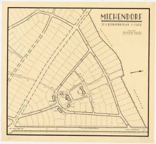
Michendorf Teilbebauungsplan: Lageplan 1:1000
Wasserturm Lobberich
Wasserturm Lobberich
Wasserturm Lobberich
Zossen. Teilbebauungsplan Am Wasserturm - Grünplanung
Kanalisation Lobberich
Zossen. Teilbebauungsplan Am Wasserturm - Gas, Strom, Fernmeldewesen
Zossen. Teilbebauungsplan Am Wasserturm - Wasserversorgung, Schmutzwasser, Regenwasser
Kanalisation in Lobberich
Alte Burganlage beim Wasserturm in Lobberich
[Lageskizze: Wasserturm, Wasserwerk, Bengmannshof in Lobberich]
[Ortsskizze Lobberich mit Gaswerk, Wasserturm u. Wasserwerk]