Altkarte
Land-Caarte Van Een Gedeelte van Zuÿd Africa : Strekkende Langs Derselver West Küst Van 26 Tot 32 Grood Zuÿder Breete Ondekt Op Den Landtogt Gedaan Van Cabo De Goede Hoop In Het Iaar 1761
- Location
-
München, Bayerische Staatsbibliothek -- 2 Mapp. 275 xa
- Dimensions
-
30 x 61 cm
- Extent
-
1 Kt.
- Edition
-
[Verkleinerter Nachdr. d. hschr. Orig. von 1761/62]
- Notes
-
einfarb. mit rotem Aufdruck
Maßstab in graph. Form (Duytse Mylen). - Orig.-Vorlage: Handzeichnung
- Bibliographic citation
-
Tabulae Geographicae Quibus Colonia Bonae Spei Antiqua Depingitur ; 4
- Series
-
Tabulae Geographicae Quibus Colonia Bonae Spei Antiqua Depingitur; 4
- Keyword
-
Namibia
- Event
-
Veröffentlichung
- (where)
-
Kaapstad u.a.
- (who)
-
N.V. Hollandisch-Afrikaansche Uitg. Maatschappij Vorheen Jacque
- (when)
-
1952
- Contributor
- URN
-
urn:nbn:de:bvb:12-bsb00137447-8
- Last update
- 27.11.2025, 8:50 AM CET
Data provider
This object is provided by:
Bayerische Staatsbibliothek. If you have any questions about the object, please contact the data provider.
Bayerische Staatsbibliothek. If you have any questions about the object, please contact the data provider.
Object type
- Altkarte
Associated
- Brink, Carel I. ten (Sonstige)
- N.V. Hollandisch-Afrikaansche Uitg. Maatschappij Vorheen Jacque
Time of origin
- 1952
Other Objects (12)
Reis in het zuidelijk gedeelte van Borneo, gedaan in het jaar 1836
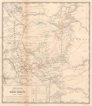
Schetskaart van een gedeelte van Midden Soematra
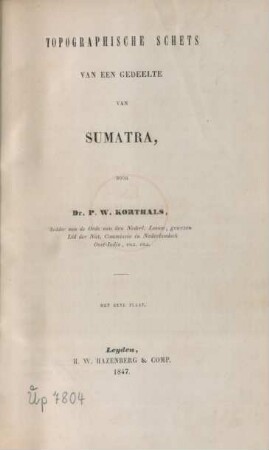
Topographische Schets Van Een Gedeelte Van Sumatra
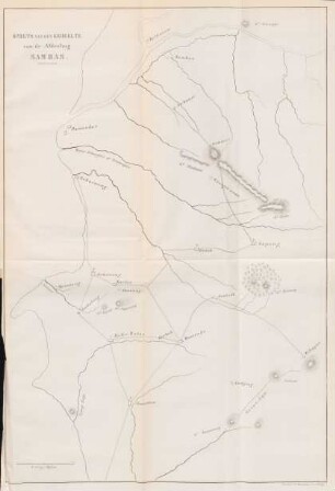
Schets van een gedeelte van de afdeeling Sambas
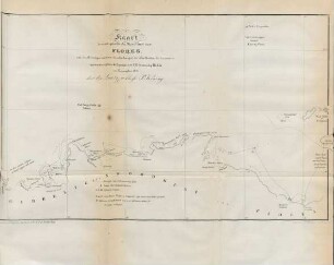
Kaart van een gedeelte der noordkust van Flores ...
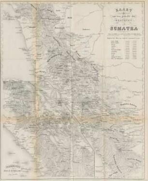
Kaart van een gedeelte der Westkust van Sumatra
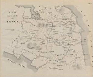
Pl. IV. Kaart van een gedeelte van Banka
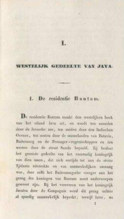
I. Westelijk gedeelte van Java
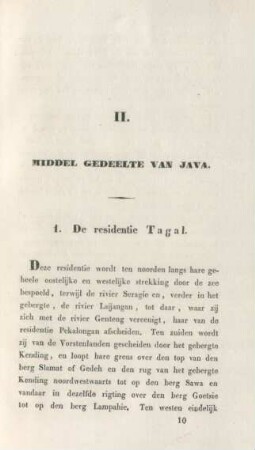
II. Middel gedeelte van Java
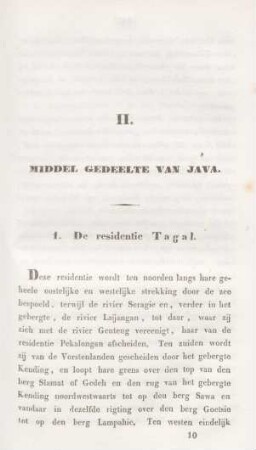
II. Middel gedeelte van Java
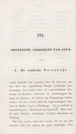
III. Oostelijk gedeelte van Java
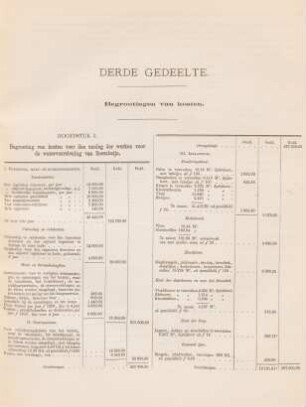
Derde gedeelte. Begrootingen van kosten
Reis in het zuidelijk gedeelte van Borneo, gedaan in het jaar 1836
Schetskaart van een gedeelte van Midden Soematra
Topographische Schets Van Een Gedeelte Van Sumatra
Schets van een gedeelte van de afdeeling Sambas
Kaart van een gedeelte der noordkust van Flores ...
Kaart van een gedeelte der Westkust van Sumatra
Pl. IV. Kaart van een gedeelte van Banka
I. Westelijk gedeelte van Java
II. Middel gedeelte van Java
II. Middel gedeelte van Java
III. Oostelijk gedeelte van Java