Regionalkarte
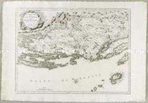
Nouvelle Carte de la Partie Orientale de Dalmatie. Mit einer Nebenkarte: Baye ou Bocche di Cattaro
- Alternative title
-
NOUVELLE CARTE / DE LA / PARTIE ORIENTALE / DE DALMATIE
- Location
-
Deutsches Historisches Museum, Berlin
- Inventory number
-
Do 2006/887
- Measurements
-
Höhe x Breite: 56 x 78,5 cm (Blatt)
Höhe x Breite: 44,6 x 60,5 cm (Karte)
Höhe x Breite: 48,3 x 63,5 cm (Platte)
- Material/Technique
-
Papier, Kupferstich, grenzkoloriert
- Classification
-
Kartografie (Gattung)
- Subject (what)
-
Dalmatien
Kroatien
Montenegro
Kotor
- Event
-
Herstellung
- (who)
-
Stecher, Kartograf: Paolo Santini
Kartograf, Verleger: Giuseppe Antonio Remondini
- (where)
-
Venedig, Italien
- (when)
-
um 1780
- Rights
-
Deutsches Historisches Museum
- Last update
- 24.03.2023, 9:29 AM CET
Data provider
This object is provided by:
Stiftung Deutsches Historisches Museum. If you have any questions about the object, please contact the data provider.
Stiftung Deutsches Historisches Museum. If you have any questions about the object, please contact the data provider.
Object type
- Regionalkarte
Associated
- Stecher, Kartograf: Paolo Santini
- Kartograf, Verleger: Giuseppe Antonio Remondini
Time of origin
- um 1780
Other Objects (12)
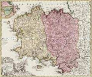
Nouvelle Carte de la Partie Occidentale de Dalmatie
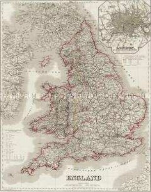
England. Mit einer Nebenkarte: London
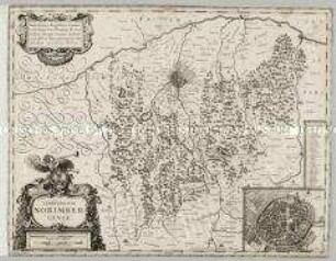
Territorium Norimbergense. Mit einer Nebenkarte: Nurnberg
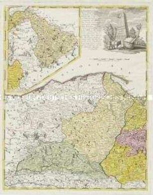
Borussiae Occidentalis Tabula. Mit einer Nebenkarte: Ermland
Tabula Ducatus Britanniae. Mit einer Nebenkarte: BREST
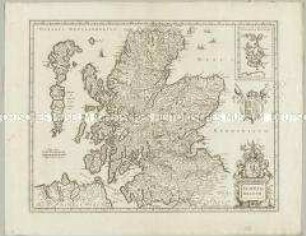
Scotia Regnum. Mit einer Nebenkarte: Orcades Insulae.
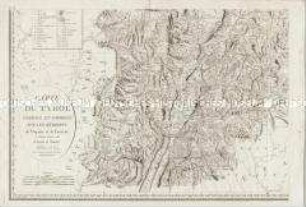
Carte du Tyrol. Mit einer Nebenkarte: Carte Générale
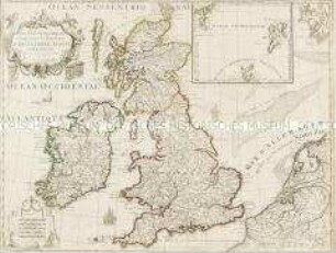
Les Isles Britanniques. Mit einer Nebenkarte: Orkney- und Shetlandinseln
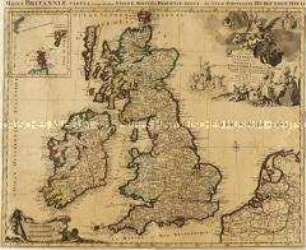
Les Isles Britanniques. Mit einer Nebenkarte: Orkney- und Shetlandinseln
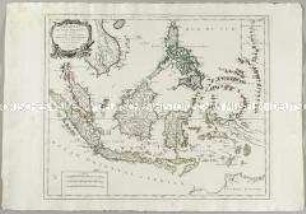
Archipel des Indes Orientales. Mit einer Nebenkarte: Isles Marianes
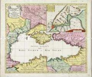
Nova Mappa Maris Nigri et Freti Constantinopolitani. Mit einer Nebenkarte
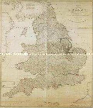
Charte von England und Wallis. Mit einer Nebenkarte (Insel Scilly)
Nouvelle Carte de la Partie Occidentale de Dalmatie
England. Mit einer Nebenkarte: London
Territorium Norimbergense. Mit einer Nebenkarte: Nurnberg
Borussiae Occidentalis Tabula. Mit einer Nebenkarte: Ermland
Tabula Ducatus Britanniae. Mit einer Nebenkarte: BREST
Scotia Regnum. Mit einer Nebenkarte: Orcades Insulae.
Carte du Tyrol. Mit einer Nebenkarte: Carte Générale
Les Isles Britanniques. Mit einer Nebenkarte: Orkney- und Shetlandinseln
Les Isles Britanniques. Mit einer Nebenkarte: Orkney- und Shetlandinseln
Archipel des Indes Orientales. Mit einer Nebenkarte: Isles Marianes
Nova Mappa Maris Nigri et Freti Constantinopolitani. Mit einer Nebenkarte